Thursday, May 19, 2022
I took my first real shower in three days in the campground bathhouse. (While boondocking, we had been conserving freshwater in our storage tank.) Employing leftovers, we breakfasted on Janie’s famous Tex-Mex omelets and toast (made from Oswald homemade bread). We then drove south to the Guadalupe Mountains National Park, The approximately one-hour drive went past the turnoff for Carlsbad Caverns NP and crossed into Texas.
At the visitor center, we learned about the flora, fauna, geology and hiking trails of the Guadalupe Mountains. About 260-270 million years ago, a tropical Permian ocean covered this area of Texas and New Mexico. Over millions of years, marine organisms built up the 400-mile long horseshoe-shaped Capitan Reef. As the sea evaporated, the reef died and was buried with sediments until a mountain-building uplift exposed parts of it that now comprise the Guadalupe Mountains that tower above the desert. Paleontologists consider these mountains to be among the best examples of marine reef fossils. Today, Guadalupe Peak is the highest natural point in Texas (8,751 ft. asl).
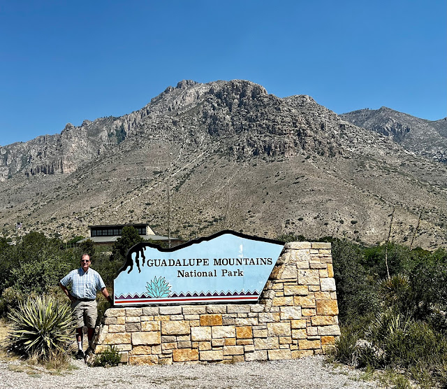 |
| Guadalupe Mountains NP Entrance Sign |
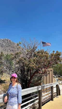 |
| Entrance to Pinery Trail |
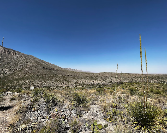
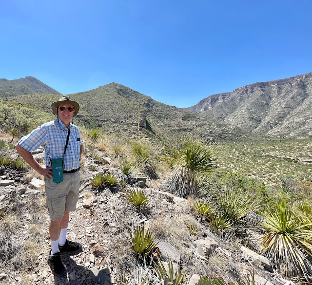
Eager to experience the park, we took a short hike (2/3 mi.) along Pinery Trail that commenced at the Visitor Center. The trail provided excellent views of the Guadalupe Mountains and provided our first opportunity to inspect the area’s flora up close. The trail ended at ruins of Pinery Station, a stop along the Butterfield Overland Mail route from St. Louis to San Francisco, a forerunner of the Pony Express and Transcontinental Railroad.
After the Piney Trail hike, we drove south a few miles to view the southern-most point of the Guadalupe escarpment, El Capitan (not to be confused with the one in Yosemite NP). This peak (8,085 asl) strikes an iconic image for travelers along US Hwy 62/180. After viewing El Capitan, we turned around and headed back north past the Visitor Center.
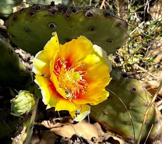 |
| Flowering Prickly Pear |
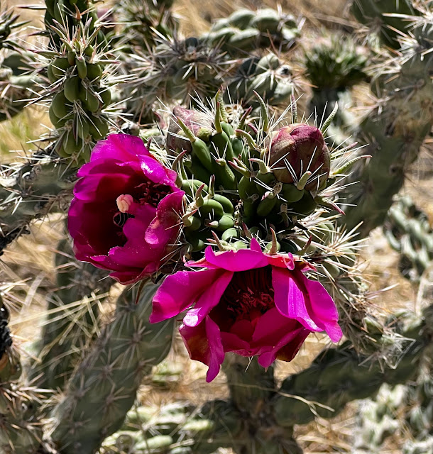 |
| Flowering Cactus (Eulychnia spp.) |
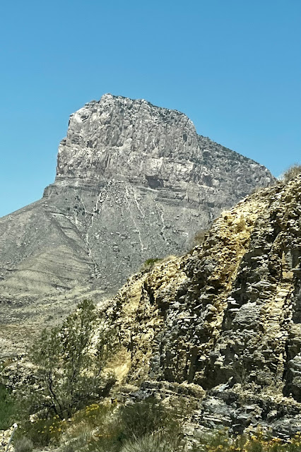 |
| El Capitan is the Southern Most Peak (8,085 asl) |
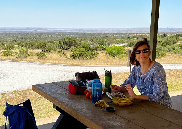
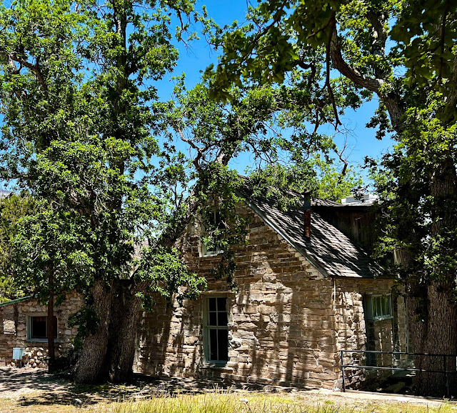
We turned off the main highway and drove to the parking lot for the Frijole Ranch and associated trails. We snacked at a nearby picnic table under a shelter. The strong winds were refreshing but made eating our sardines, cheese, crackers and fruit challenging. We then explored the buildings of the Frijole Ranch, first settled in the 1880s by John Thomas Smith from Wisconsin. He married and the couple raised ten children over their 36 years at the ranch.
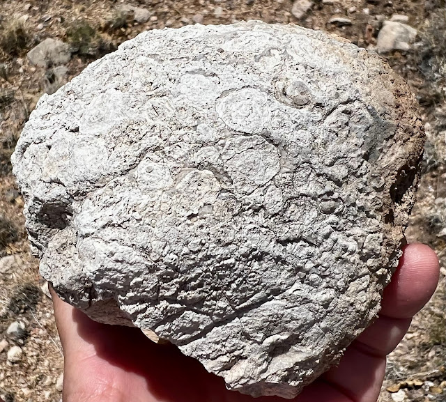
We also walked to a nearby spring-fed pond. In those days, settlement was dependent on a reliable water supply. At this point, I had one eye on the views and one eye looking for fossils; the stone rubble was obviously preserved reef relics. I never found any fossil too interesting; the one find that excited me at the time, I later learned, was calcite concretions formed on the ancient Capitan Reef.


