Friday, May 24, 2024
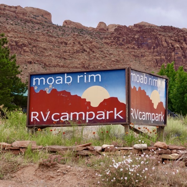
This morning, we changed RV sites at Moab Rim RV Campark. We now have full-hook-ups with 64-channel cable tv. The trade-off is a lot more traffic noise from US-191.
We took off for Canyonlands National Park late this morning. The 33-mile drive took us back through Moab and past Arches NP then west on UT-313 to the park entrance where we only had to wait for a few cars before entering the park.
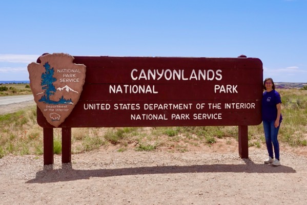 Another Park Sign
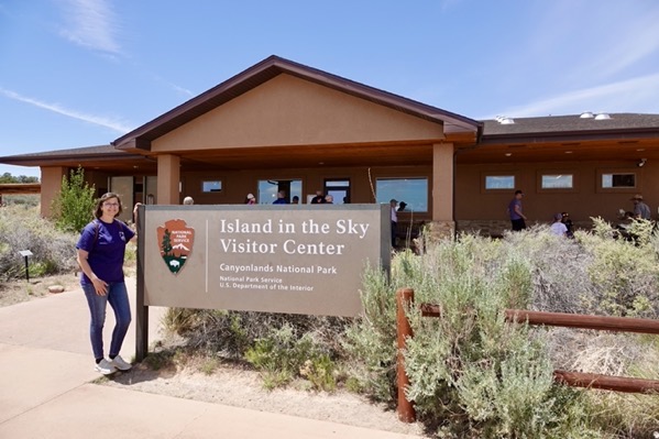
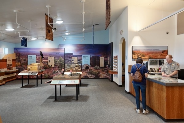
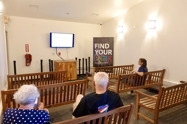
The Visitor Center was nice but smaller than at Arches NP. We got our Passport stamp and watched the park movie on wooden benches in a small room. The display monitor was only slightly larger than our motorhome’s tv screen.
The Colorado and Green Rivers flow into and merge together forming a large riparian Y that separates the park into three districts: the Maze west of the Y, the Needles east of the Y and Island in the Sky between the two rivers. There is also a small district, Rivers, that is disjunct from the main park lands. Our exploration was limited to the paved roads in Island in the Sky District, where we viewed canyons from above. Visiting the other districts requires traversing unpaved roads in four-wheel drive and allows for intra-canyon explorations.
————— Visitor Center —————
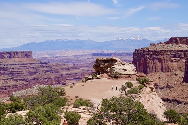
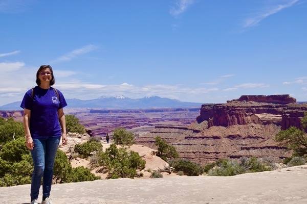
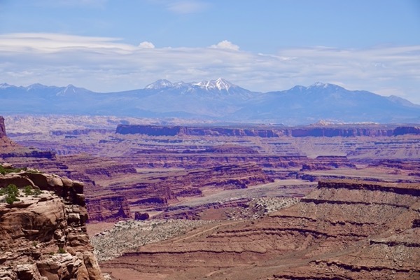
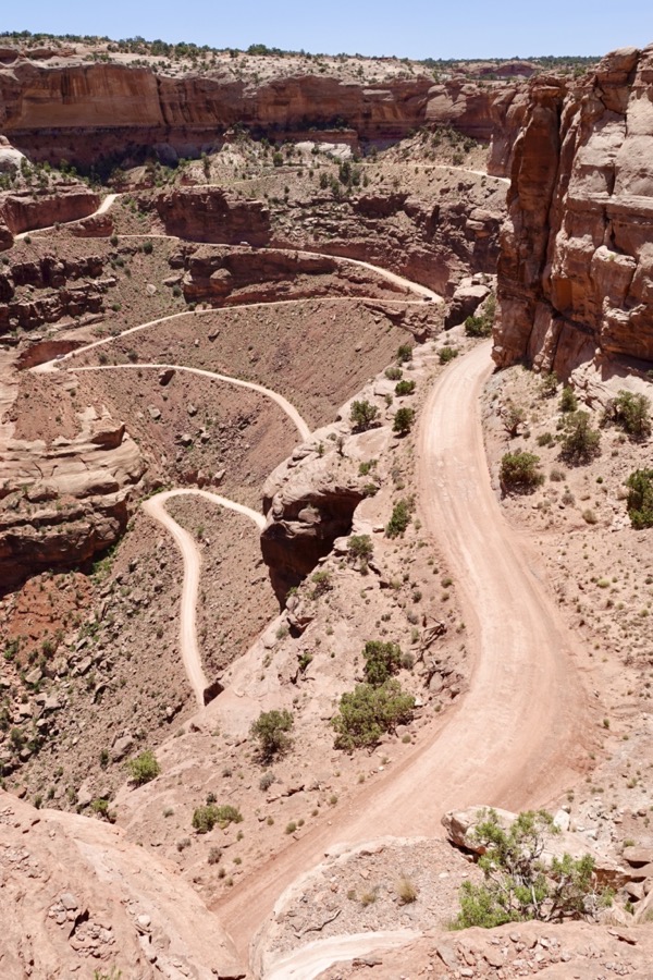
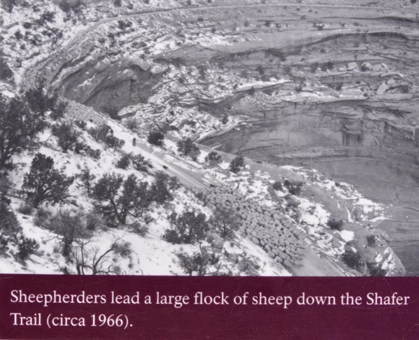
We walked across the road from the Visitor Center to Shafer Canyon Viewpoint where we had a long-range view across the canyon to the La Sal Mountains in the distance. From this viewpoint, we could see the Shafer Trail switchbacking 1,400 feet down the canyon wall. Today, this is a four-wheel drive road that connects to White Rim Road that encircles most of the park’s territory. Historically, it was used by native people to travel from the mesa to the Colorado River. Later, ranchers drove livestock along it, and in the 1950s, uranium mining companies used it to transport equipment and ore. Abandoned mining roads are still visible across the desert floor below.
————— Shafer Canyon Viewpoint —————
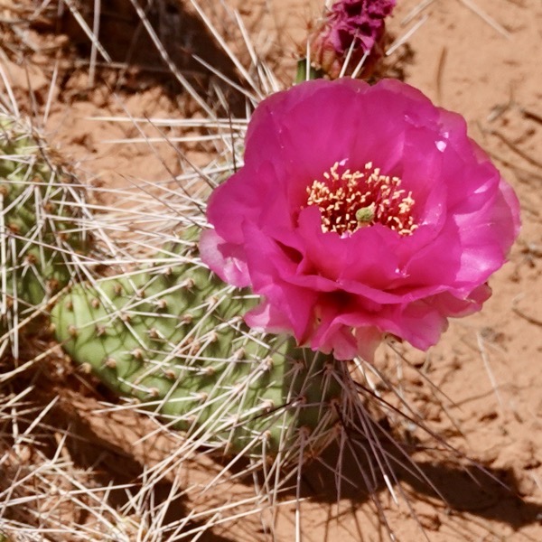
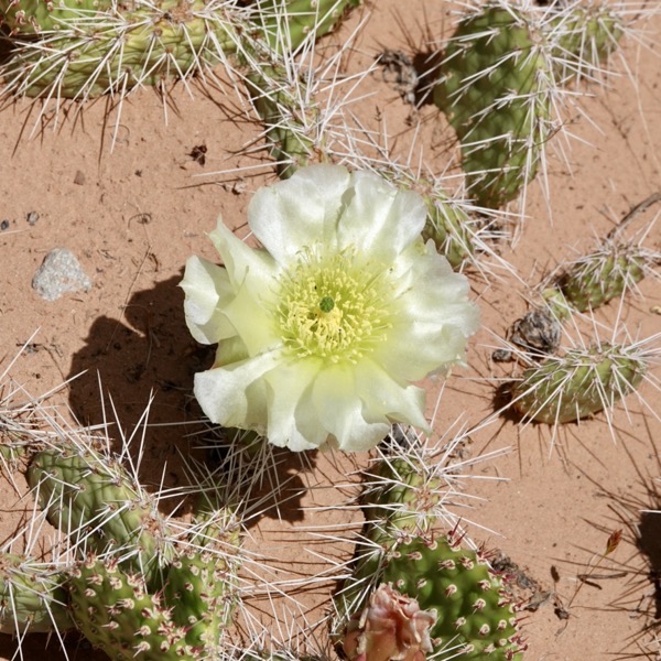
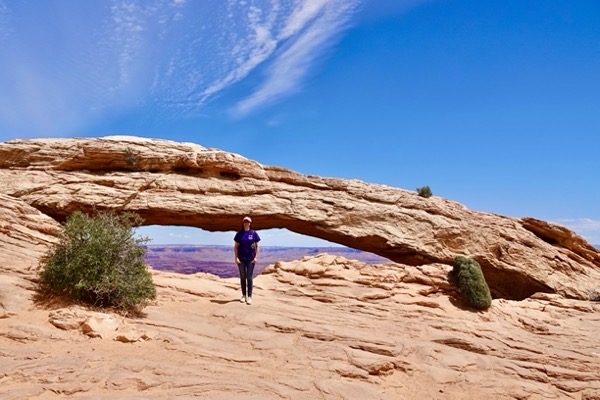
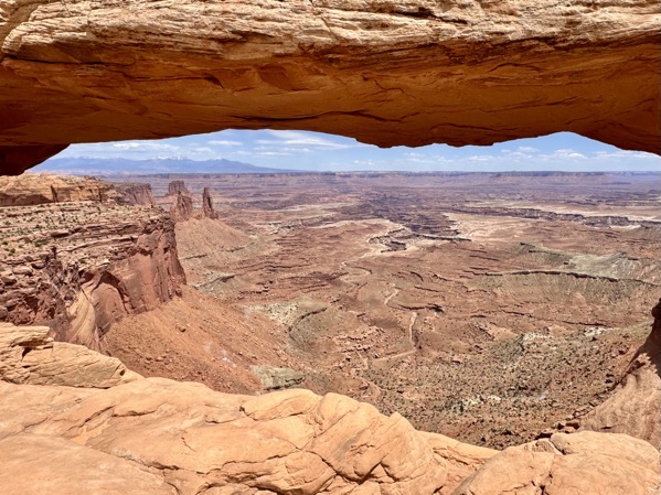
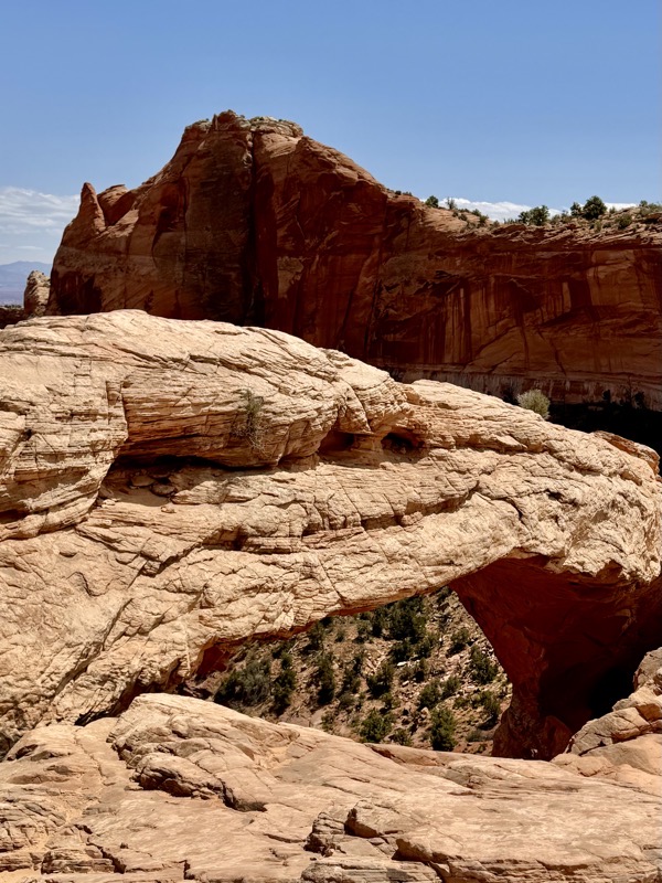
After departing from the Visitor Center, our first stop was the Mesa Arch. This pleasant 0.6-mile loop trail led us by many yellow and red flowering cacti. The long low Mesa Arch was crowded with fellow viewers. Jane had become mesmerized by some unusual clouds in the intensively blue sky that complimented the wondrous landscape below. We hiked back to the car and continued on our route.
————— Mesa Arch —————
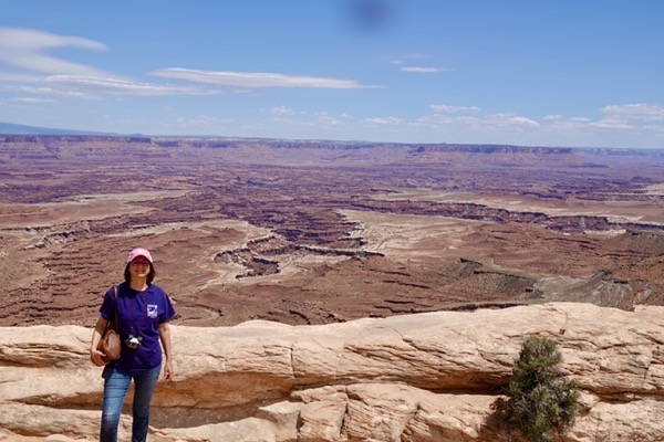

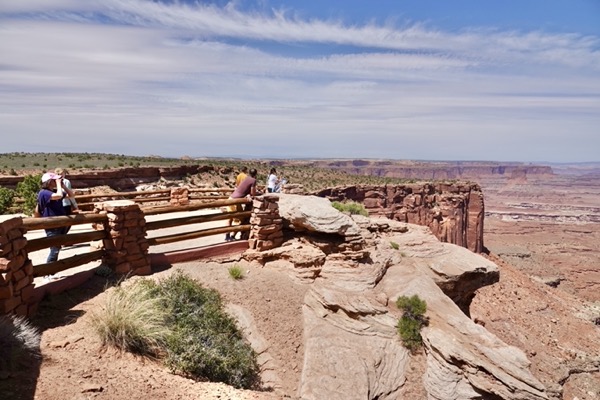
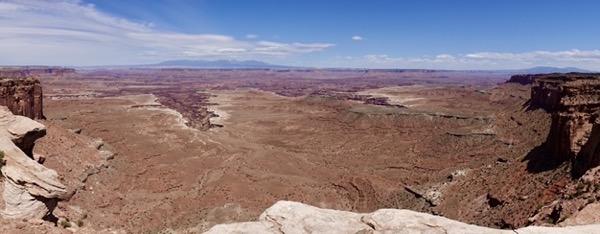
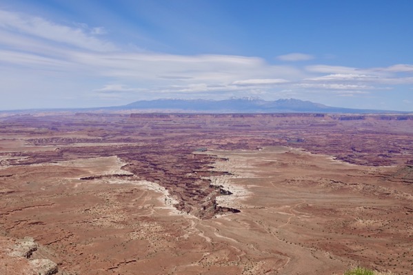
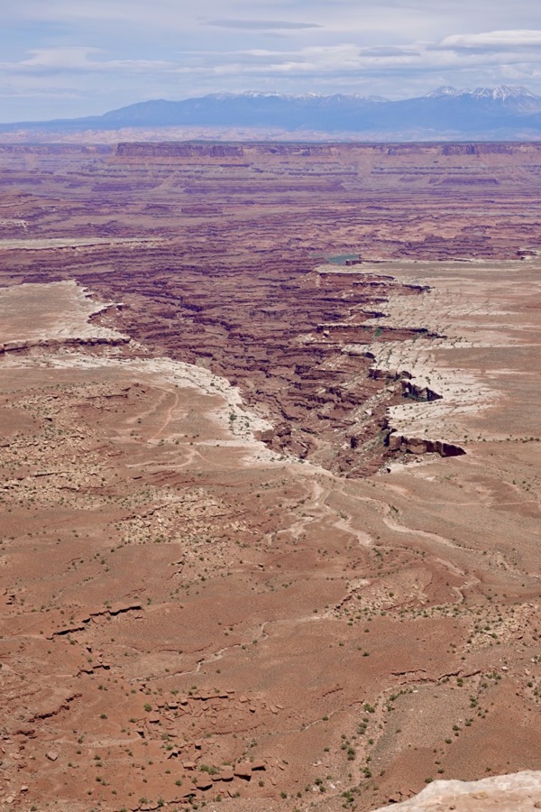
The next overlook along the park road was Buck Canyon. Here we had long views of a plateau where the Colorado River had carved out huge canyons and canyonettes. After our viewing, we returned to our lonely car awaiting us at the end of the short paved trail. We continued along the main road and stopped at Orange Cliffs Overlook for views of sandstone cliffs and more canyons.
—— Buck Canyon Overlook —–
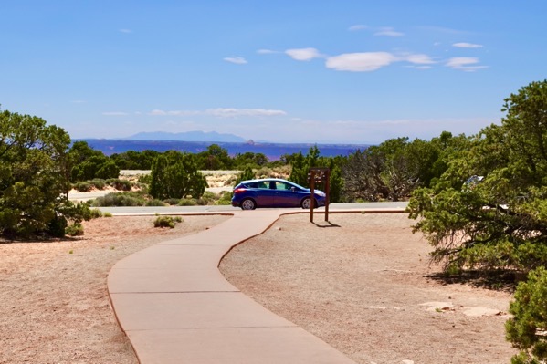
————— Orange Cliffs —————
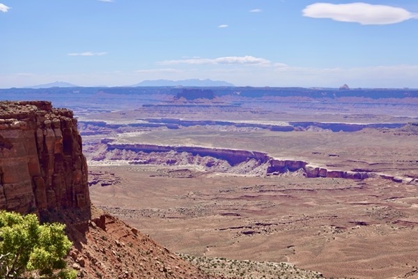
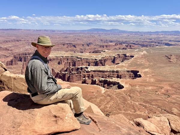
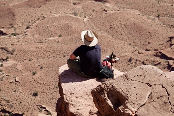
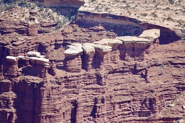
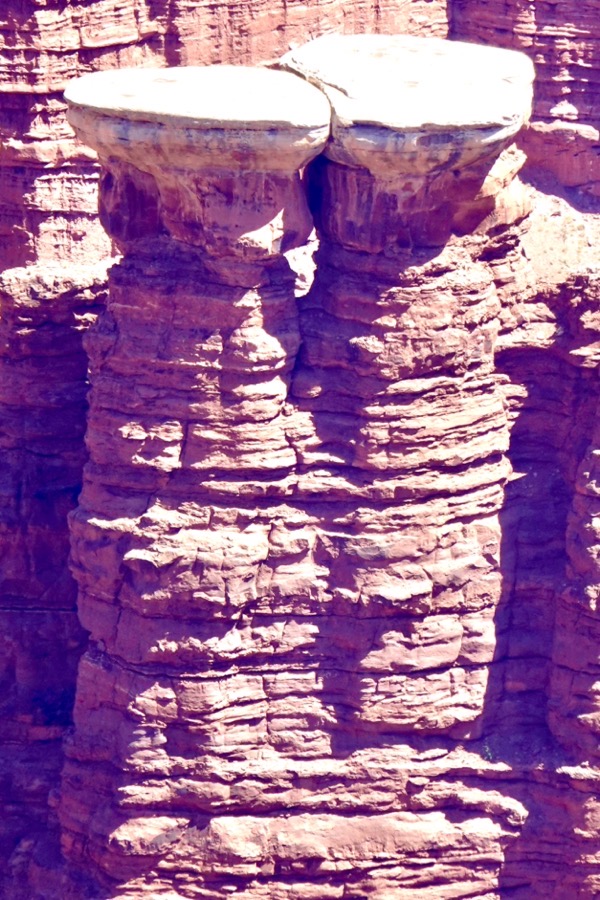
The main park road terminated at the Grand View Point Overlook. Again, we saw more Colorado River canyons carved into the plateau. We could peer into some of the nearer canyonettes and observed interesting sandstone formations still resisting the water’s erosive destruction. The weather and scenery was glorious, so we decided to join others and take seats on rim rocks to take it all in. More energetic visitors were embarking on a 1.8-mile out-and-back hike along the rim.
—— Grand View Point ——
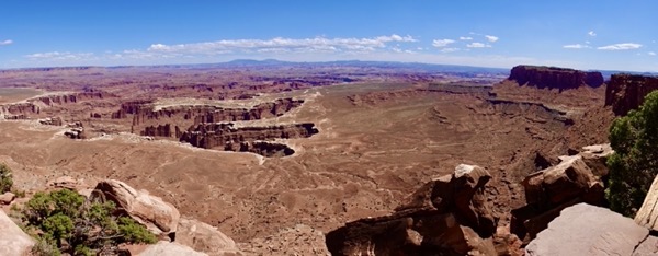
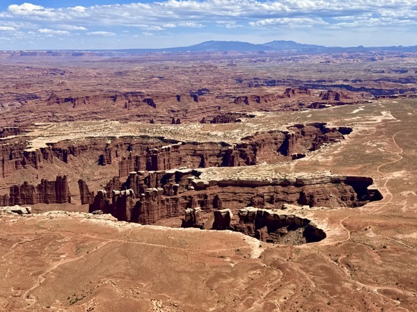
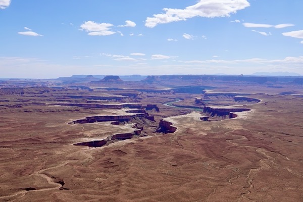
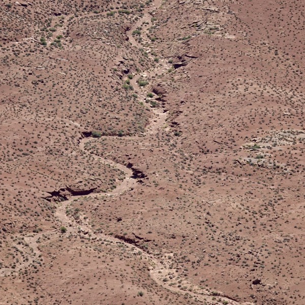
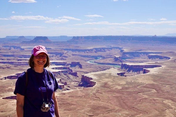
After soaking in the grand Grandview view, we back-tracked on the main road to a western spur road. From there we turned off to see Green River Overlook. Here, we again had long-range views of a canyon-carved plateau, but this time the Green River rather that the Colorado River was the sculptor. While driving back from this overlook, we looped through the campground where the twelve sites are offered on a first-come first-serve basis with no hook-ups or dump station.
—— Green River Overlook ——


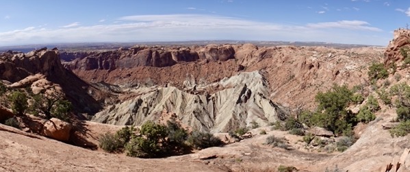
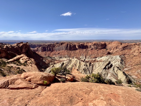
The spur road ended at the Upheaval Dome trail head and picnic area. The hike to view this unique geologic feature was short but steep. At the rim, the fractured and tilted rock layers below us formed a circular depression more than two miles wide. A sign declared that the cause of this unique dome was a mystery and offered two completely different hypotheses: 1) a subterranean salt layer pushed up through a vertical fault and was then eroded away, or 2) a meteorite hit the site and vaporized on impact. Pondering this dilemma, we worked our way back down the rocky trail and to the car.
—— Upheavel Dome ——

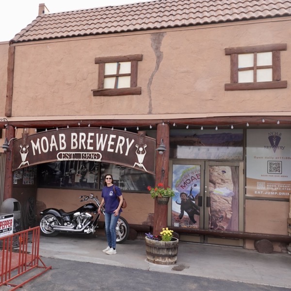
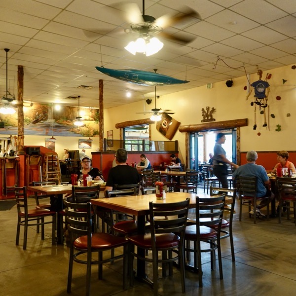
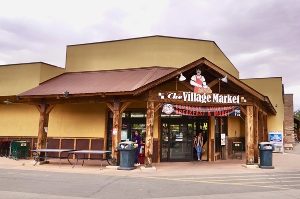
We drove back through the park and into Moab nonstop until we found the Moab Brewery where we both had a fish & chips dinner with beer. We then stopped by the nearby and busy Village Market before returning to the RV where we holed up for the evening.
Canyonlands is spectacular. You got some great pictures. I love Messa Arch. Swanna and I are at the lake reading your blog. We’re having fun looking at the pictures and reminiscing about our travels. Glad you’re having so much fun!
Thanks, Lisa. I hope you and Swanna enjoy your time at the lake.