Sunday, May 12, 2024
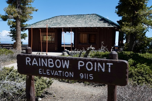
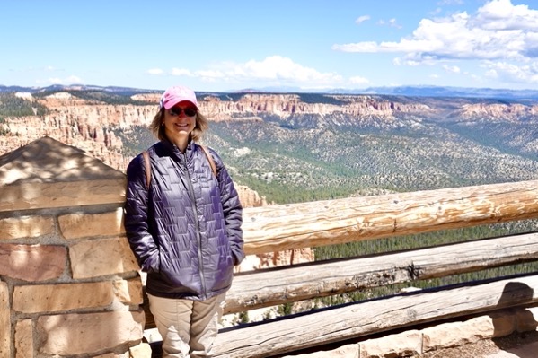
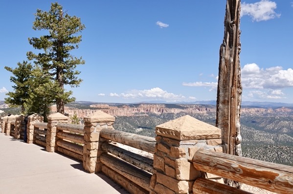
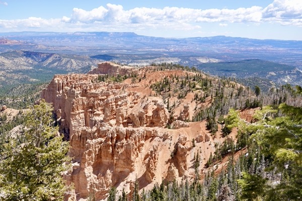
We awoke this morning to frost on our car; fortunately the water hose and fixtures hadn’t frozen. After breakfast, we headed to Bryce Canyon National Park again. Once through the entrance gate, we drove the 18-mile main park road to its terminus, Rainbow Point. We parked at the lot there and first enjoyed the view from the rim of Rainbow Point.
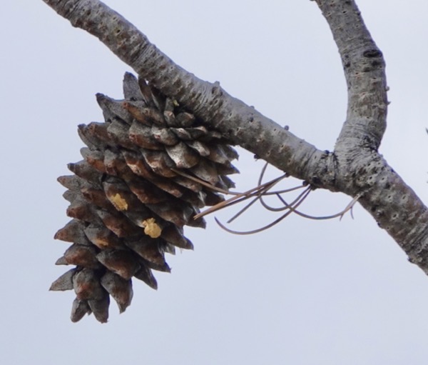
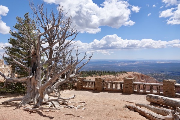
Then, we embarked on the paved one-mile Bristlecone Pine Loop. This trail was also mostly along the rim with nice views. Besides the unbiquitous ponderosa pine, the high elevation forests here also have limber pine, Douglas fir, white (concolor) fir and a scrubby juniper. But, Jane and I were most eager to see our first-ever bristlecone pine. The oldest here are reported to be over 1,600-years-old. The trail led to a point mostly occupied by this species. Clinging on the rocky ledges were healthy youths, venerable craggy elders, and the dead remains of members of this species. Inspired, we continued the easy trail loop back to the parking lot.
——————— Rainbow Point ———————
——————— Bistlecone Loop ———————
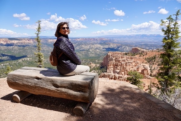
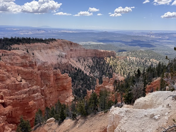
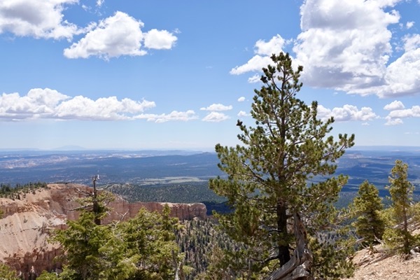
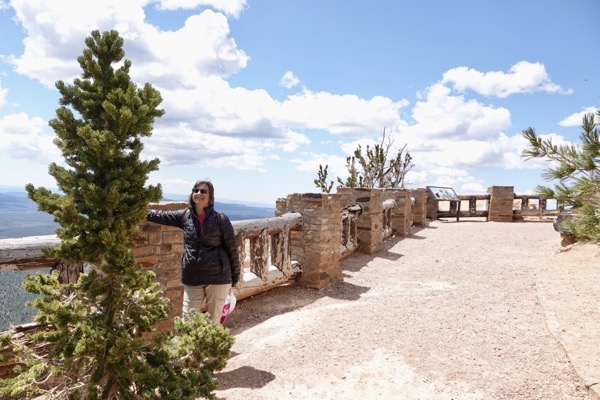
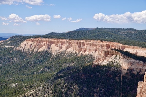
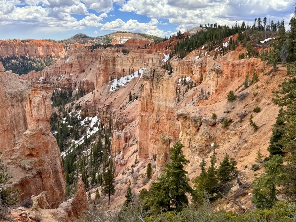
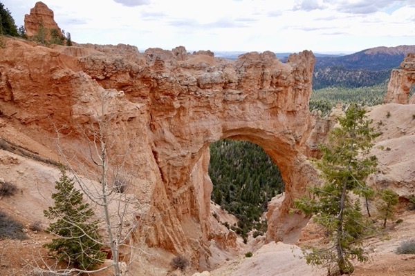
From Rainbow Point we retraced our car route down the main park road. Along the way, we stopped at each overlook and got out of the car to admire the views and take photographs. Although it was a beautiful Sunday morning, the park wasn’t overly crowded and we could easily find temporary parking spots.
——————— Black Birch Canyon ———————
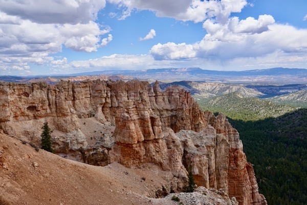
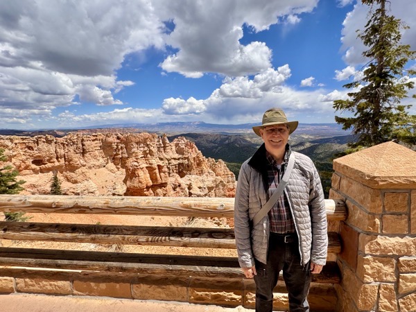
——————— Ponderosa Point ———————
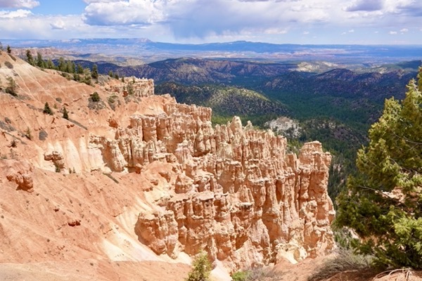
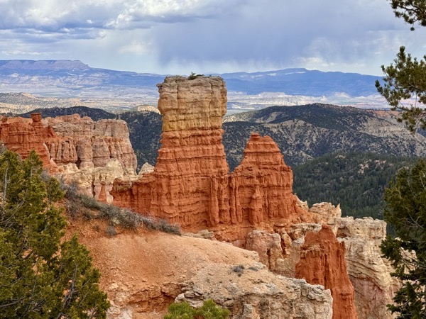
——————— Agua Canyon ———————
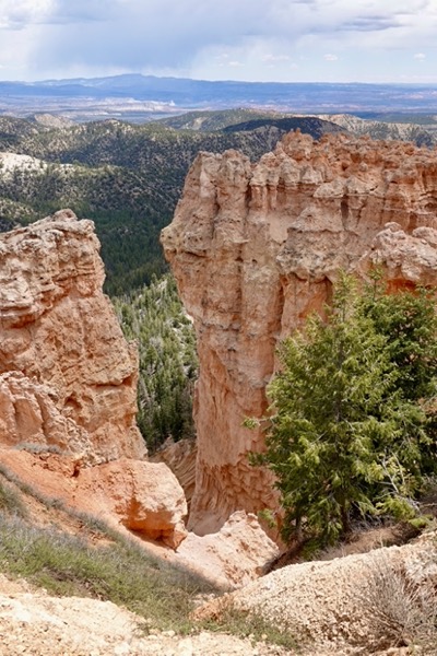
——————— Natural Bridge———————
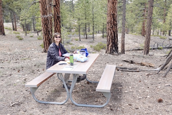
As we neared the Lodge and the more popular hiking trails, we pulled over at a designated picnic area. We enjoyed a picnic lunch that Jane had prepared back in the RV, eating at a private table under a ponderosa pine stand. A large jay, that we later identified as a Steller’s jay, visited us while we were lunching.
——————— Picnic Lunch ———————
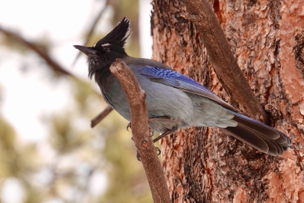 Steller’s Jay
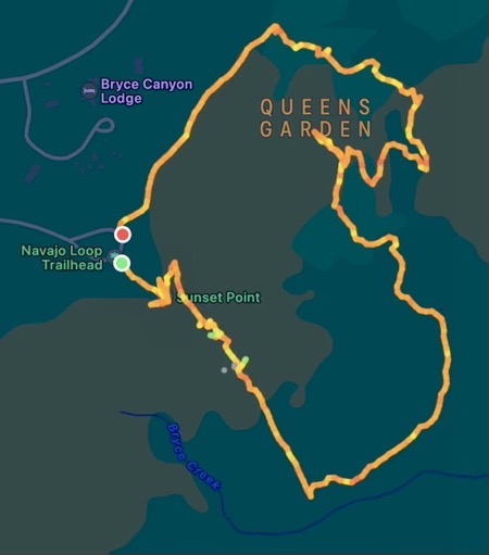
After lunch, we drove to, and parked in, the Sunset Point parking lot. After refilling our water bottles, we embarked on a most memorable hike that combined three trails.
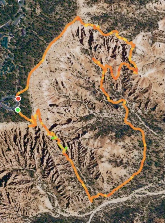
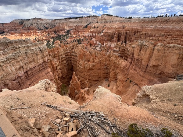
We started our 3.2-mile hike by making a steep descent from Sunset Point on Navajo Loop Trail. The trail was a series of sharp switchbacks that wound down the canyon wall and around various rock formations. Soon, we were eye level with the tops of hoodoos that we had observed from above and as we continued, we were below and looking up at them.
After our spectacular knee-stressing descent, the trail leveled-off along a contour in the canyon. We walked along this easy trail section enjoying the rock features above us and trying to put out of our minds that when hiking, “whatever goes down, must come up.”
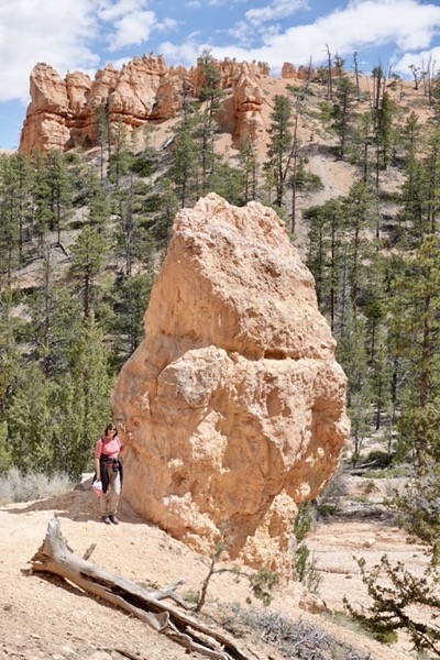
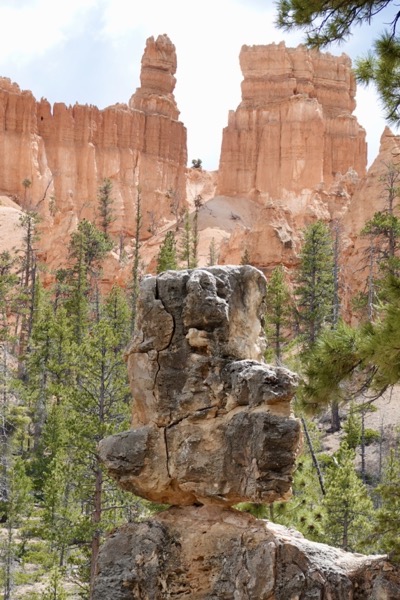
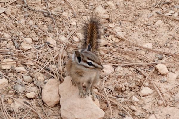
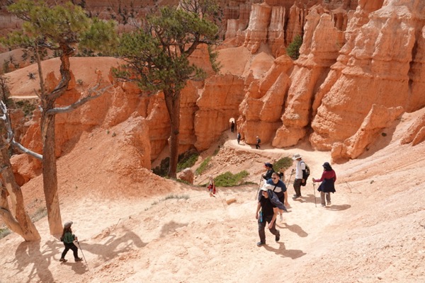
Our ascent began gently as we connected to Queen’s Garden Trail. We took a short spur trail to view a rock formation imagined to look like a portly Queen Victoria before continuing the ascent. The increasing grade at an elevation above 8,000 ft. asl became ever more challenging but, inspired by the fantastic views, we huffed and puffed our way to Sunrise Point along the rim.
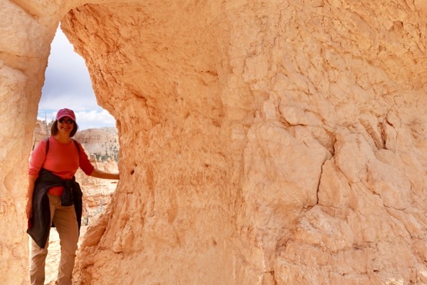
We then hiked the final half-mile from Sunrise to Sunset Point along a paved and easy section of Rim Trail to our car.
———————— Hike Route (3.2 miles) ————————
————— Descending Navajo Loop Trail from Sunset Point —————
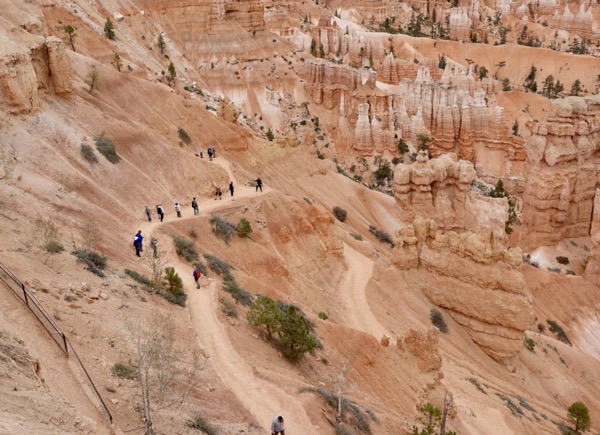
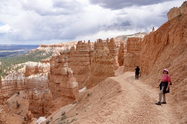
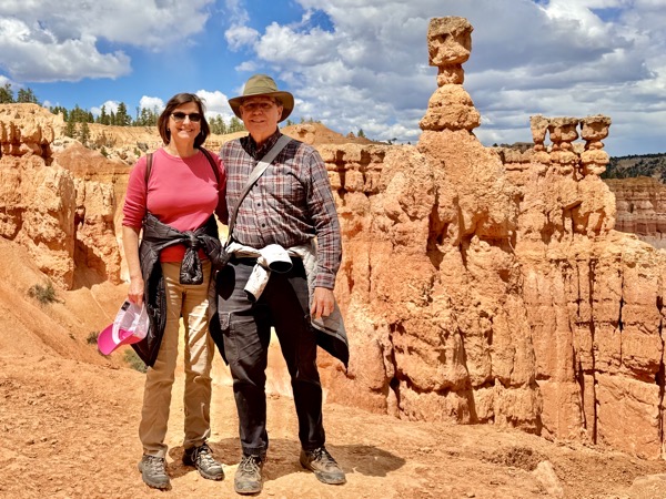
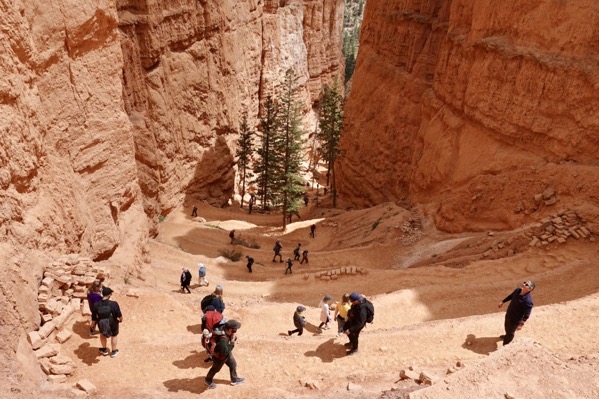
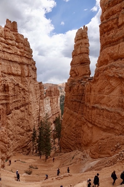
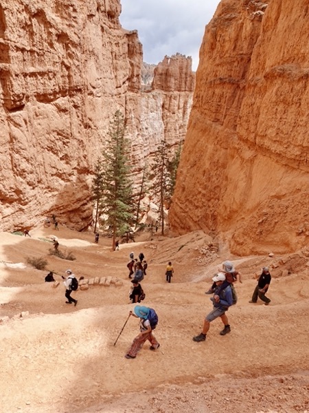
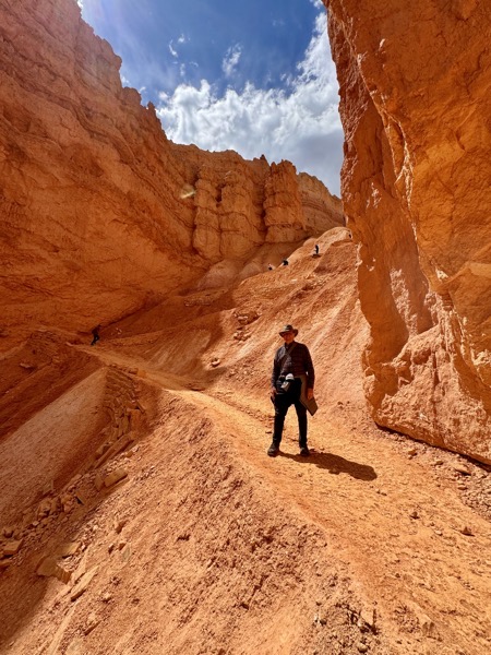
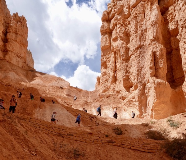
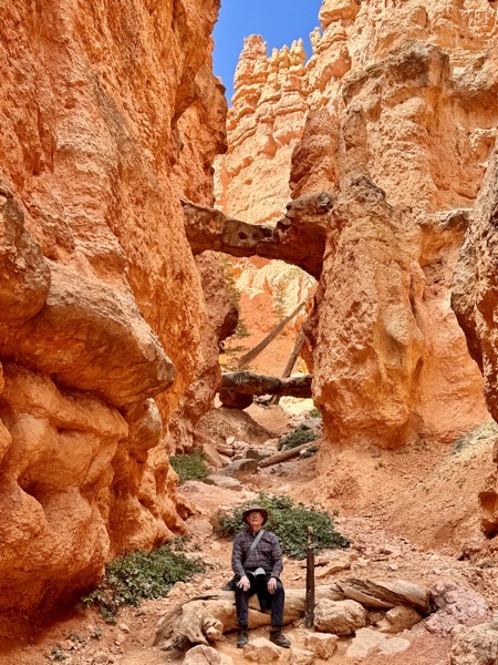
————— Nahajo Loop Trail in the Canyon —————
———- Ascending Queen’s Garden Trail —————
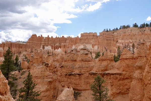
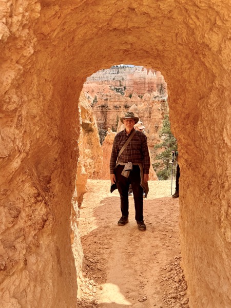
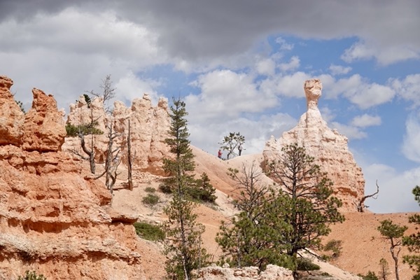
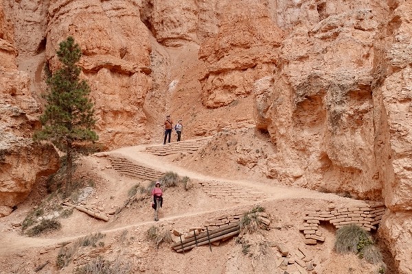
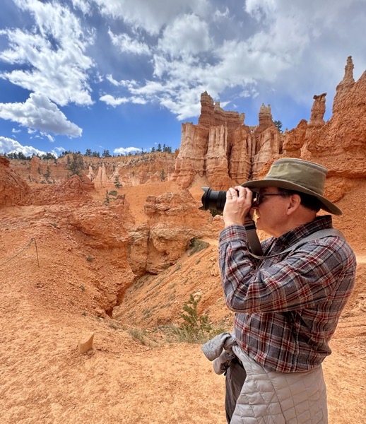
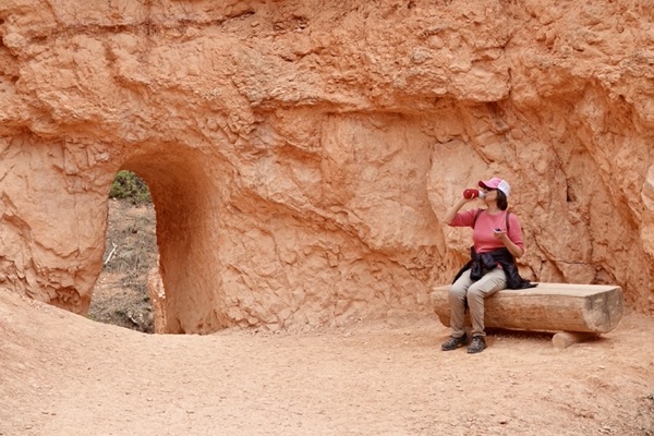
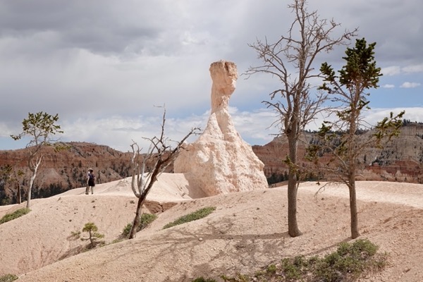
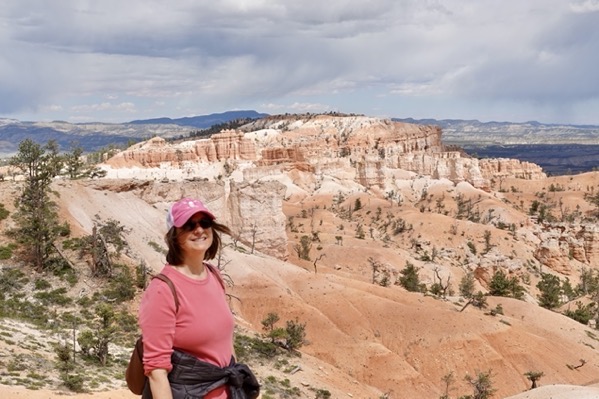
———————— Sunrise Point and Rim Trail ————————
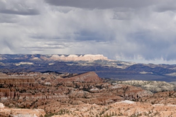
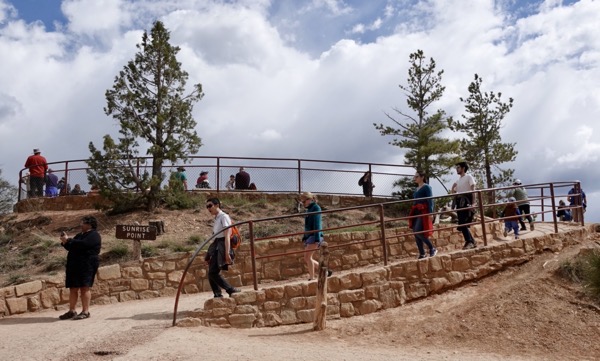
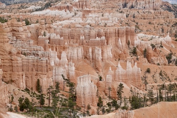
After our hike, we wearily drove back to the motorhome for recuperation. We stayed there through the evening resting, blogging, reading, and eating dinner. Before retiring, we disconnected our water connection because of predicted overnight freezing temperatures.