Thursday, May 24, 2024
Today it was time to move on. With some remorse, we pulled out of our peaceful pasture-side campsite. But before departing the campground, we pulled through a large recently vacated site to dump our gray and black tanks and hitch up the car. Then, we refueled the RV at a nearby convenient station and headed east on AZ-24. Leaving Torrey, we once again travelled through amazing sites of now-familiar Capitol Reef but the awesome landscapes continued beyond the park’s boundaries throughout our entire trip. We drove AZ-24 for about 100 miles before catching I-70 E, then US-191 S to complete our 160-mile journey to Moab.
We drove through the busy and popular tourist town to arrive at Moab Rim RV Campark along US-191 S. There, we set-up in a small back-in site with two-way hook-ups. We’ll be able to move to an available full-hookup site tomorrow.
After pondering our options, we decided to visit nearby Arches National Park this afternoon rather that making a reservation for tomorrow, the beginning of Memorial Day weekend. Park visitors do not need a reservation after 4 pm, so we headed over to the park around 3:15 pm. After, stopping for a picture at the entrance sign, we waited in line for about twenty minutes to pass through the park gate and entered the park just a little before 4 pm.
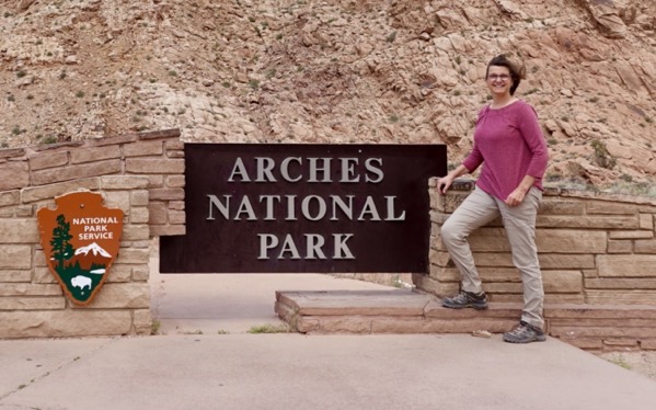 A Windy Welcome
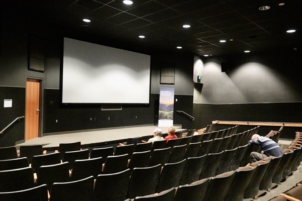
We then went to the Visitor Center only to find upon entry that it would close at 4:30 pm. We quickly got our Passport stamp, then took our seats in a large comfortable theater to watch an interesting film about the park’s geology and history, “Windows of Time.” We noted the considerably larger and better facilities in this park’s Visitor Center (and later, facilities throughout the park), than at the previous park we had just visited. After the video, we and other park visitors were quickly shooed out of the center before closing time.
————— Visitors Center —————

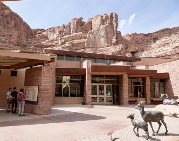
We left the Visitor Center and joined the line of cars progressing along the main park road which began with some sharp switchbacks climbing a ridge. We pulled off at the first overlook and saw below us the Visitor Center that we had just left. With help from the informational sign, we could also make out the Moab Fault line on the rock face behind the center.
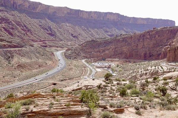 Visitor Center and Moab Fault Line
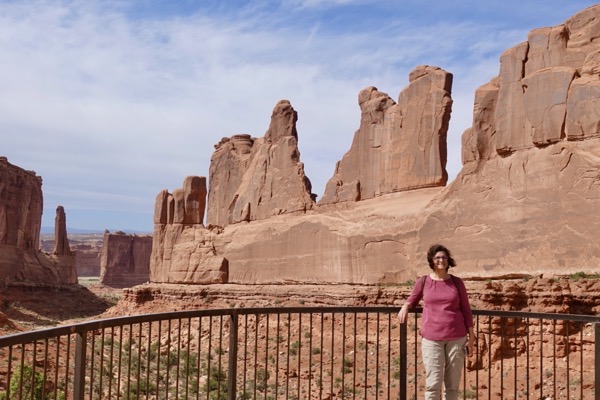
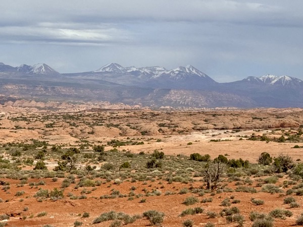
We continued along the main park road stopping at various overlooks and parking areas to enjoy the views and interesting formations. Although there were many other visitors enjoying the park, we were always able to find a parking space.
—— Park Avenue Viewpoint ——
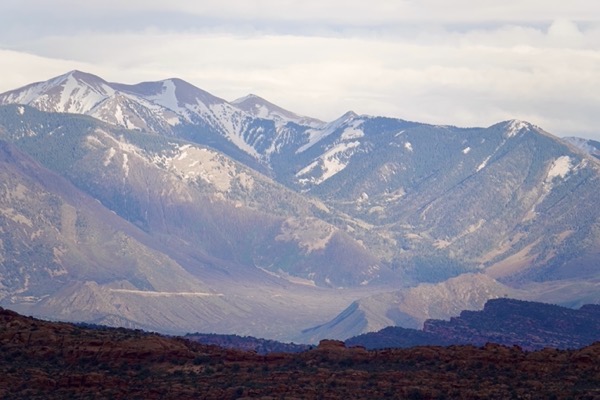
—— La Sal Mountains Viewpoint ——
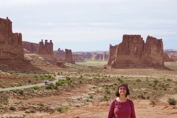
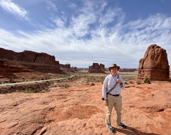
—— Courthouse Towers Viewpoint ——
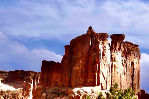
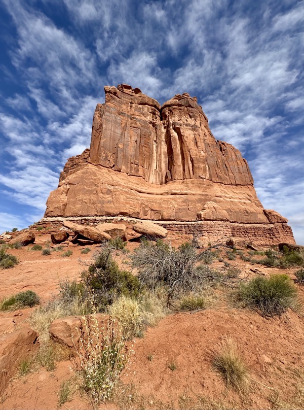
—— Balanced Rock ——
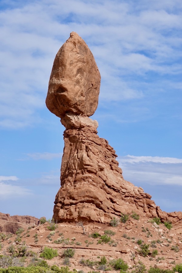
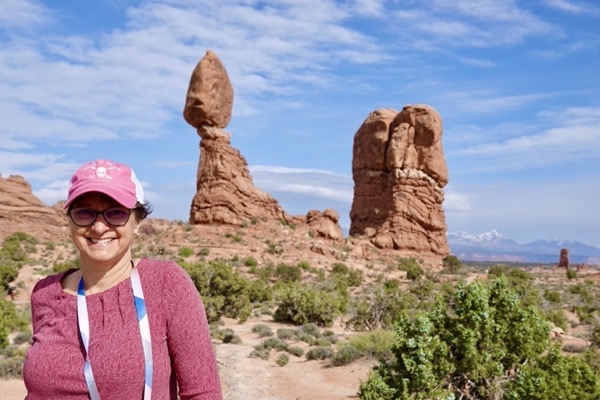
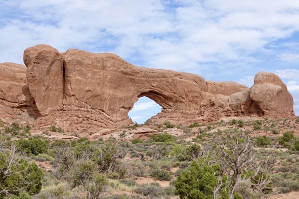
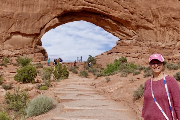
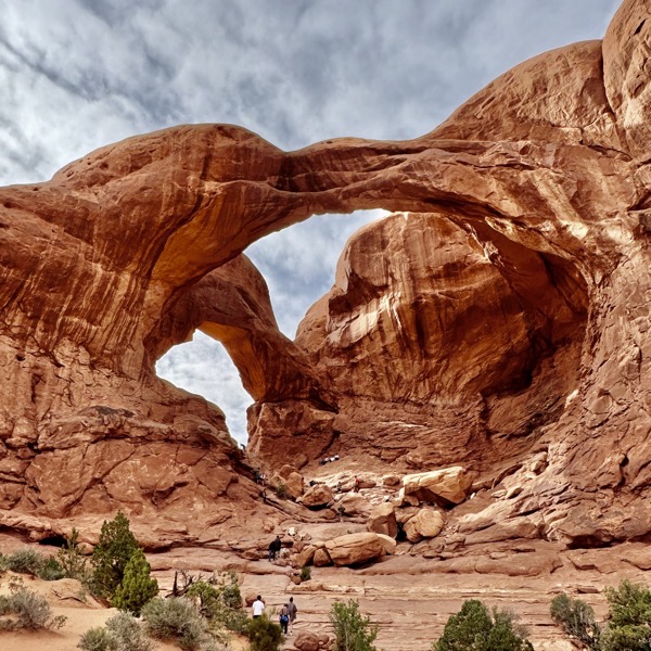
After driving about 9-10 miles along the main park road, we turned off onto a spur road, Windows Road, that led to a popular area, the Windows Section. This spur terminated in a large two-level parking lot with plentiful restroom facilities. Short trails led to views for four different arches: North Window, South Window, Turret Arch, and Double Arch. We joined other visitors exploring and photographing each of these striking features. Serendipitously, we enjoyed Turret Arch by ourselves for a long time.
————— North Window —————
————— South Window —————
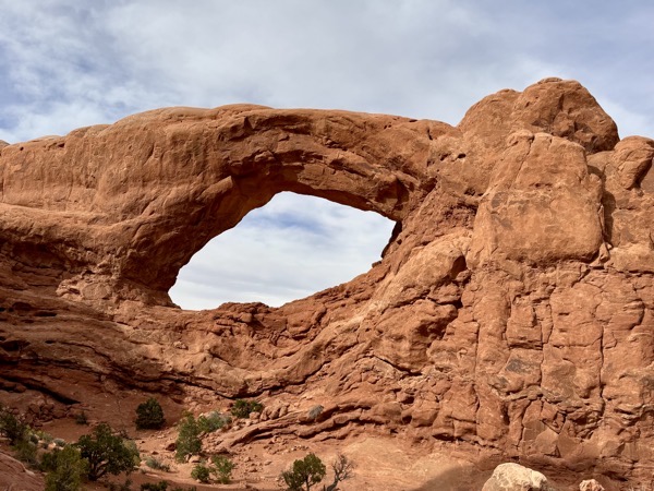
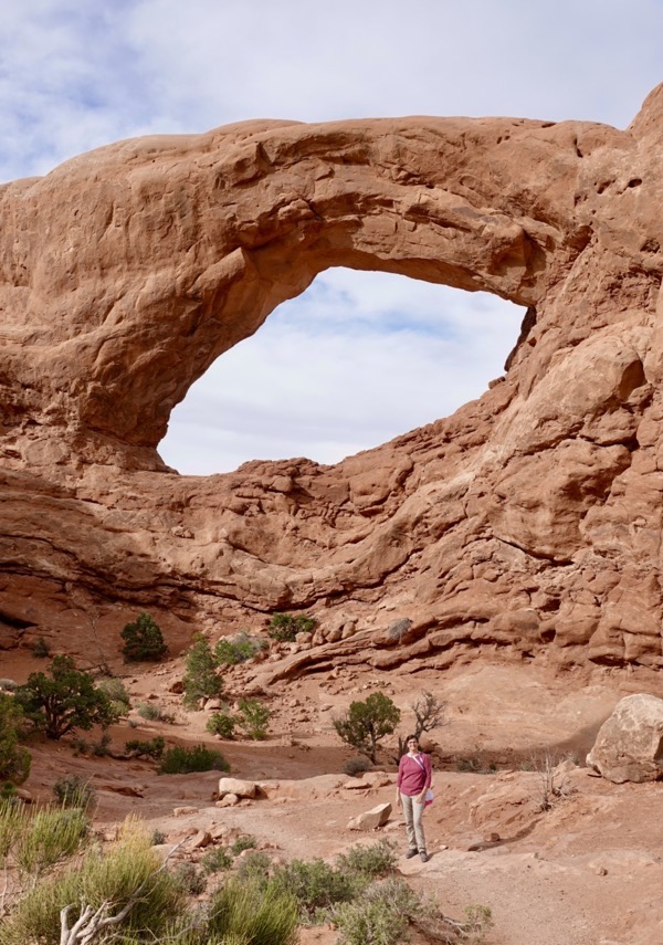
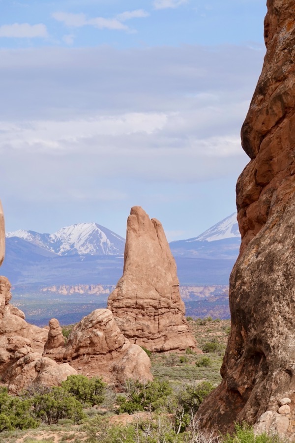
————— Turret Arch —————
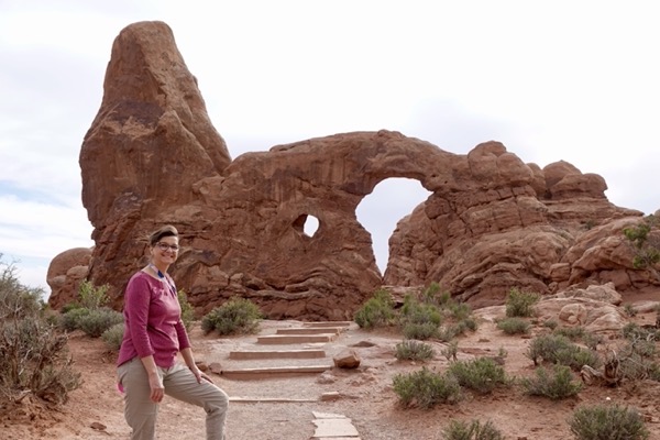
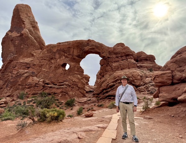
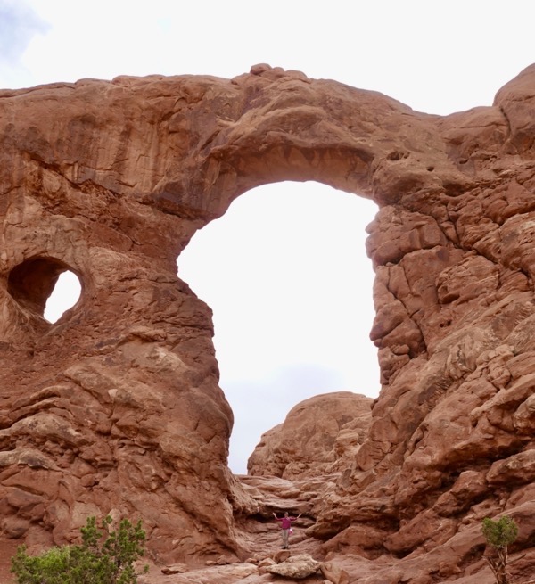
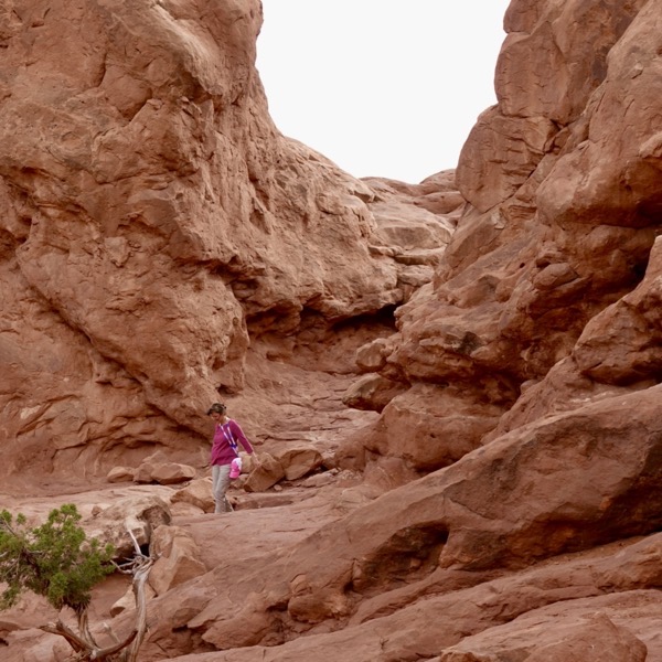
————— Double Arch —————
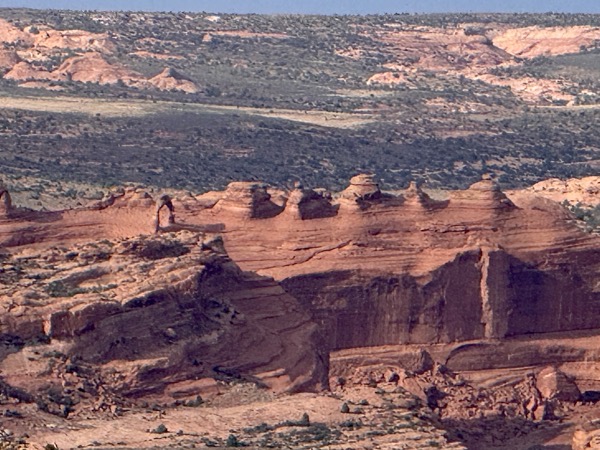
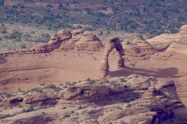
As we retraced our route along Windows Road, we pulled into a parking area to check-out the Garden of Eden, a group of red sandstone columnar features with the snow-capped La Sal Mountains as a back drop. From the parking area, we saw some interesting formations in the distance and when we zoomed in on them, noticed that there was a “little baby” wishbone-like arch beside them. Later, we realized that we had unwittingly spotted the park’s most iconic feature, Delicate Arch.
————— Garden of Eden —————
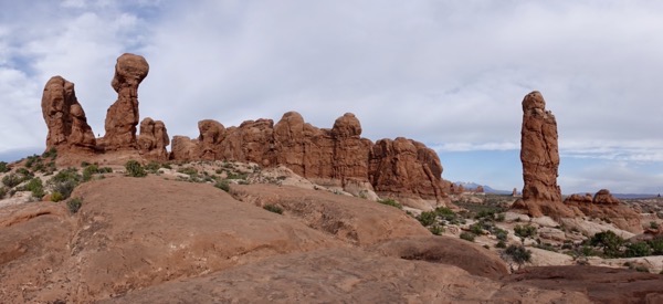
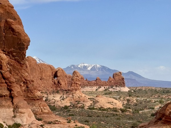
————— Delicate Arch from Garden of Eden —————
We joined the park main road and stopped for a view at Panorama Point before taking another spur road, Delicate Arch Road.
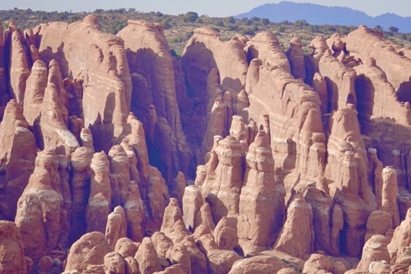 Panorama Point
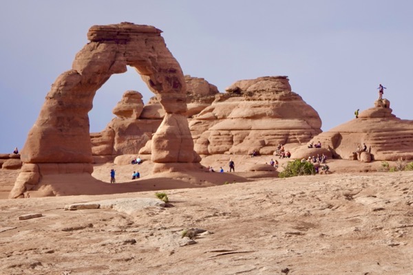
Along this spur road, we passed Wolfe Ranch where the trailhead for the hike to Delicate Arch is located. Unfortunately, we could not spare the time for this long but popular hike. At the spur’s end, we parked and hiked the short and longer trails to the Lower and Upper Viewpoints of Delicate Arch. The 60-foot tall Delicate Arch is an enduring icon of Arches National Park and the surrounding area and is featured on the Utah license plate.
Due to the power of zoom lenses, the upper and lower viewpoint photos of this icon were similiar, but the hike to the upper viewpoint was more than worthwhile. This arch view peered over a canyon and behind us stretched a valley with an exposed gray stratum that had a greenish frosting. Signage explained that the green color was not due to copper, but iron from submerged volcanic ash that had resulted in the minerals illite and chlorite instead of the more common rusty iron oxide.
————— Delicate Arch —————
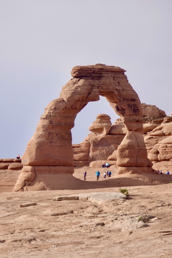
—— Upper Delicate Arch Trail ——
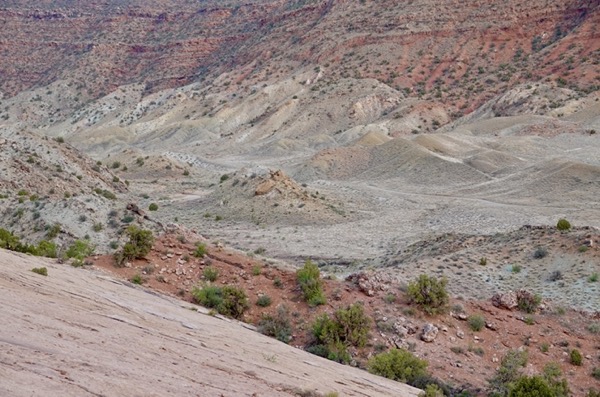
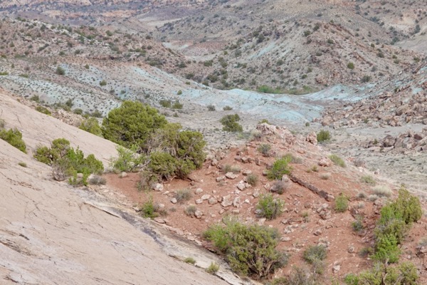
Back along the main road, we stopped at two close overlooks, Salt Valley and Fiery Furnace, before parking at the Sand Dune Trailhead.
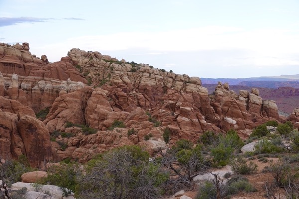
—— Salt Valley Overlook & Fiery Furnace Viewpoint ——
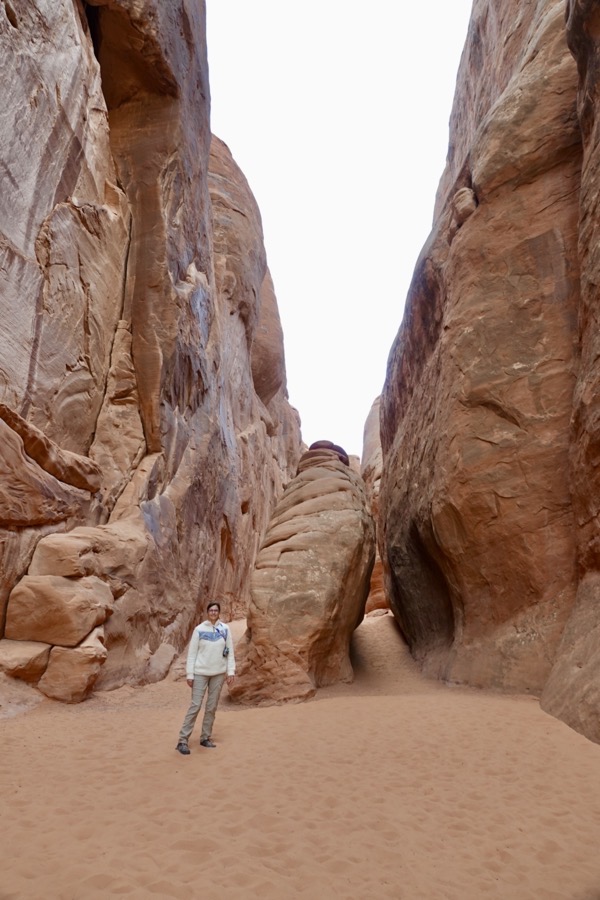
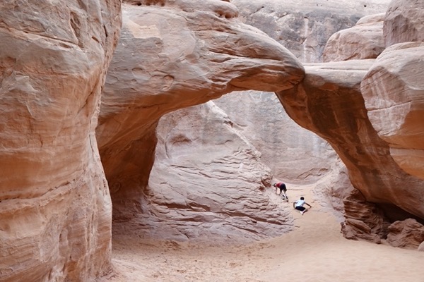
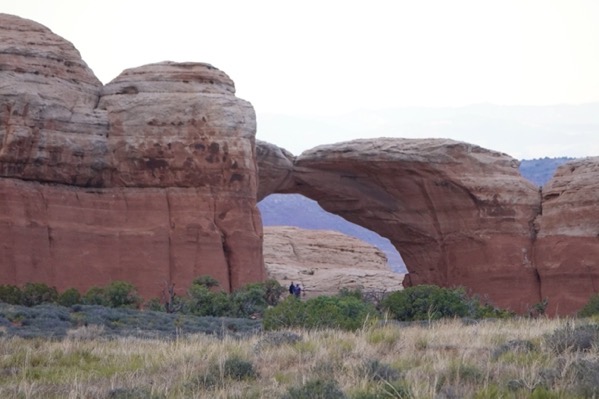
We hiked the fun and level Sand Dune Trail through tall red sandstone fins that reminded us of our Antelope Canyon adventure. The hard trail surface soon turned to deep sand and we had to find our way to the secluded arch. At the arch, we met a family with two boys that were having a great time running through the arch and hiding in the alcoves. When we arrived, the mother commanded them to disappear (“go back in the hole,” she yelled), which they happily did, while she took our picture. After awhile, we left them alone to continue enjoying the arch area. From Sand Dune Trail, we could spot another arch, Skyline, but didn’t have time to hike to it.

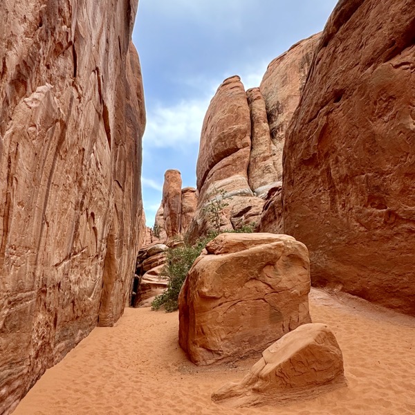
—— Skyline Arch from Sand Dune Arch Trail ——
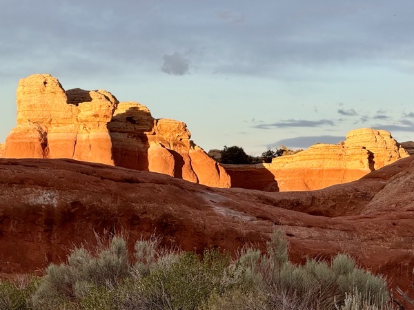
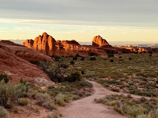
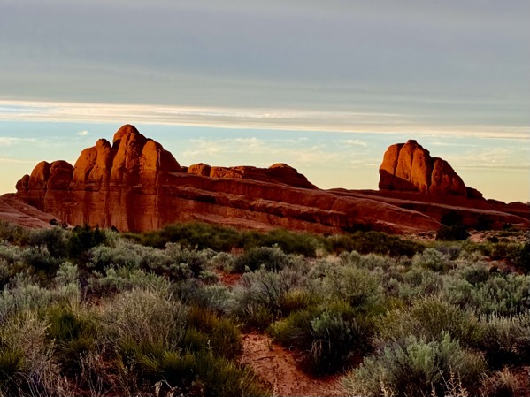
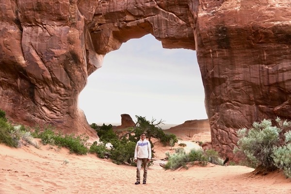
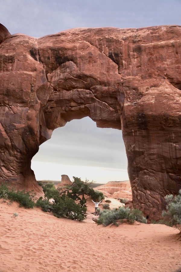
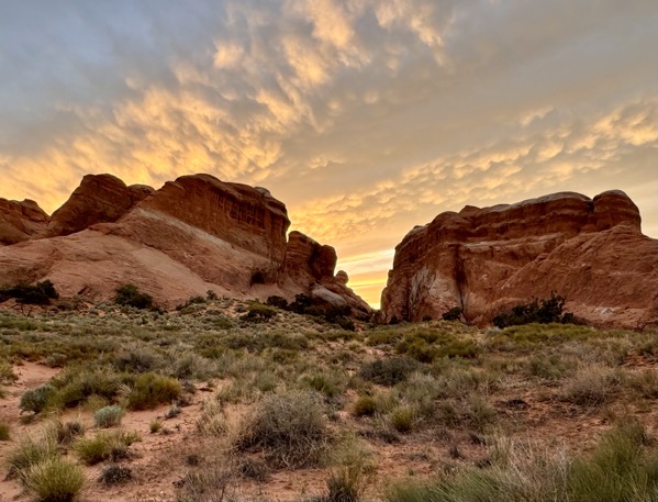
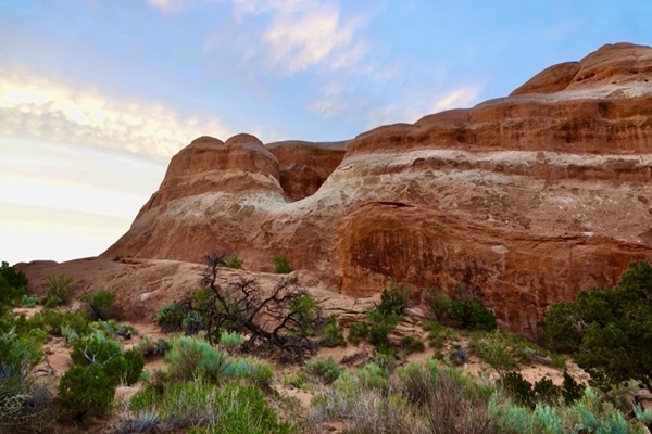
We continued to the end of the main road and parked at the Devils Garden Trailhead, where we’d view our last two arches of the day, Tunnel and Pine Tree. The sun was getting low in the sky and the rock features glowed when viewed from the right angle.
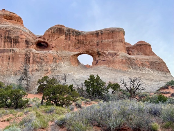
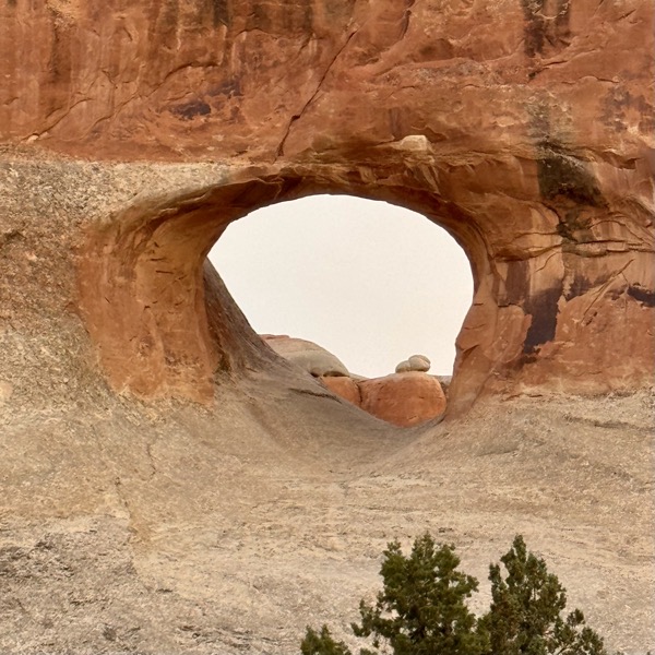
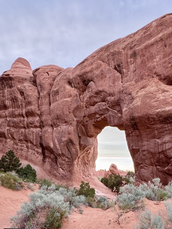
Tunnel Arch was on a short spur off Devils Garden Trail. We descended into an alcove and were suprised to see the tunnel high on a wall above us. We climbed back up to the main trail and continued to Pine Tree Arch. After sufficient appreciation of this last arch of the day, we headed back to the car. The surrounding sandstone features had became even more beautiful in the oranging sunlight.
—— Devils Garden Trail ——
————— Tunnel Arch —————
————— Pine Tree Arch & Return Trail —————
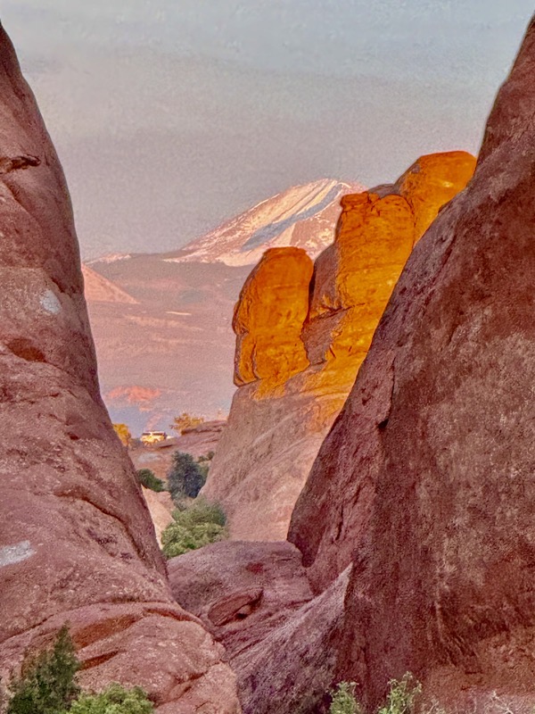
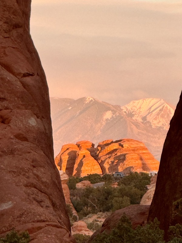
Before departing, we couldn’t resist driving through Devils Garden Campground. The primative campsites were inviting, integrated among the sandstone formations throughout this scenic area. Crepuscular campers were milling about enjoying the cooling temperatures along with views of the sunset and onset of dusk.
After looping through the campground, we drove a short distance down the main road and pulled over to enjoy the last of the sunset’s colors.
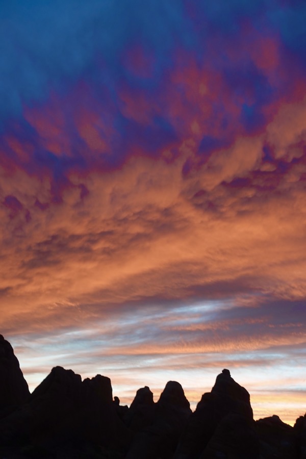 Sunset along the Main Park Road
We then proceeded directly to the park exit along the main road surrounded by dark outlines of eerie nondescript shapes. Sunset had initiated an exodus of cars from the park and at several curves we witnessed ant lines of lights descending along ridge tops. We exited the park at 9 pm ending our pleasurable five-hour long visit knowing that we had only witnessed a small fracton of the reportedly 2,000 arches in the park.
We were exhausted, hungry and thirsty, so while passing through Moab to the campground, we stopped at Antica Forma for beer and veggie personal pizzas. The service was fast and the meal hit the spot. We left as happy customers and proceeded directly to our motorhome. Jane took a nice photo of the full moon over the campground before we quickly and wearily headed to bed.
 Pizza & Beer
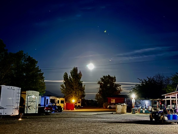 Moon over Moab