Thursday, May 2, 2024
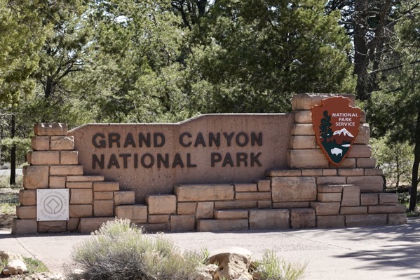
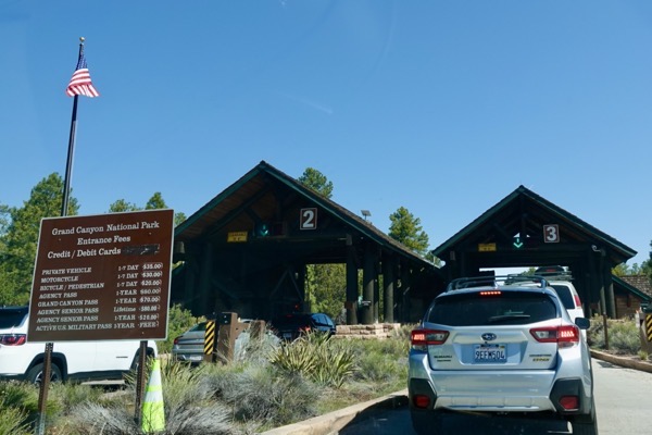
Today, Jane drove the toad back to Grand Canyon National Park. After an hour-long drive, mostly on State Route 64, we arrived at the southern park entrance around 9:30 am. There was a line of vehicles waiting to enter. Three of the five gates were operating and we waited about 18 minutes before entering for free using our Senior Pass.
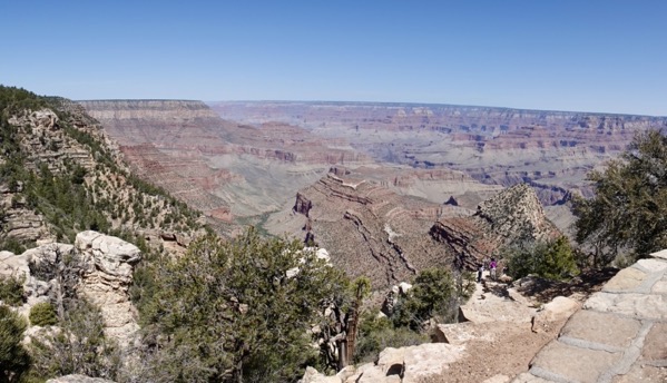
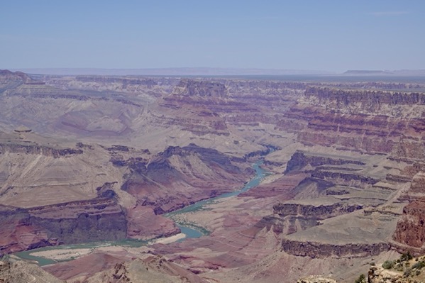
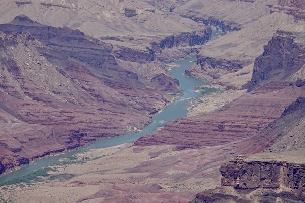
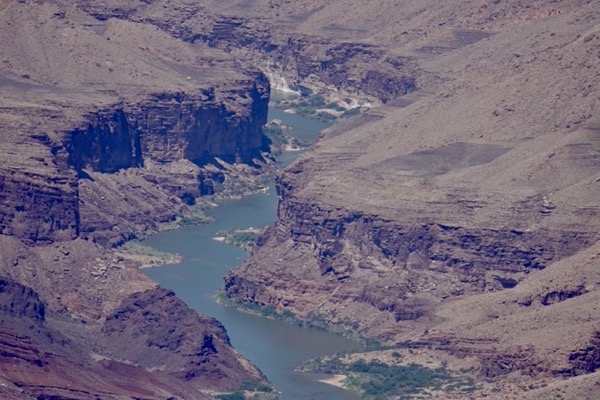
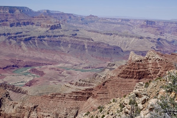
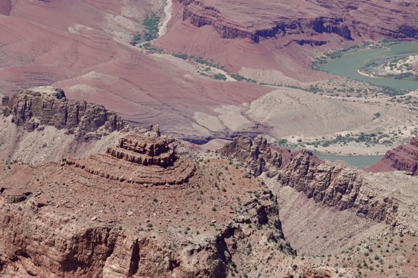
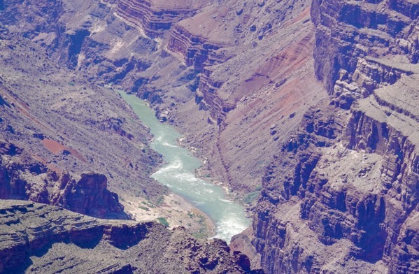
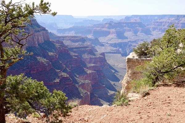
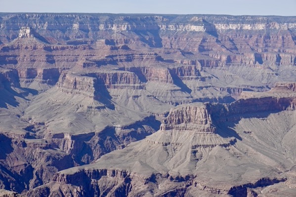
Once inside, we implemented our plan of driving east on the 23-mile long Desert View Drive to Desert Watchtower at the eastern-most end of the park. On the outbound leg, there were few other tourists as we stopped at each of the overlooks and short spurs to the rim on the left side of the road. The skies were clear blue so that the morning sun, with no clouds casting shadows, allowed us to witness nature’s masterpiece in a different light than yesterday’s. As we progressed east, we were able to witness longer segments of the beautiful greenish-blue Colorado River winding its way through the basin.
——————— Along Desert View Drive ———————
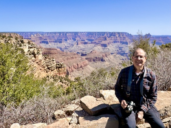
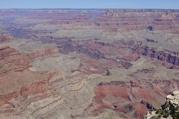
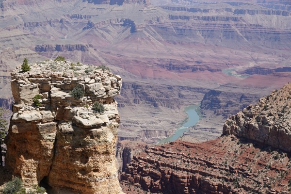
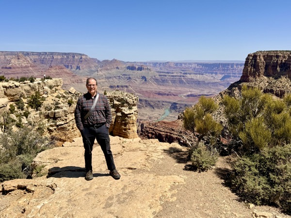
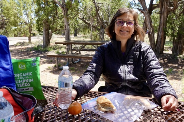
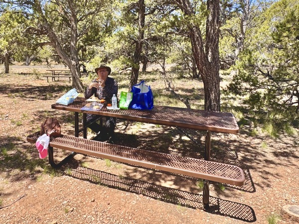
A few miles before reaching the end of Desert View Drive, we turned onto a short road on the right (away from the canyon) to Tusayan Museum and Ruins. There, we enjoyed an early and private picnic lunch that we had prepared in the motorhome before leaving, tuna croissants with potato chips and fruit. Over lunch, we discussed plans for the last two days that we had allocated for visiting the Grand Canyon’s south rim and decided that we would like to spend one night in the Park. We had great cell phone reception and I was able to find a room in one of the inside-the-park hotels. Spontaneously, we made reservations for Friday night while sitting at our pincic table.
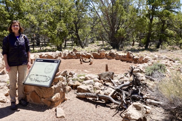
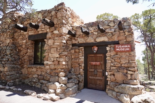
After our picnic, we walked a short loop trail viewing ruins from a small Tusayan village of about 30 people dating from the late 1100s. After the pleasant hike, we were disappointed to find that the Tusayan Museum was closed.
——————— Tusayan Ruins & Museum ———————

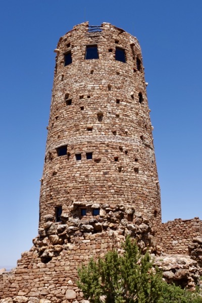
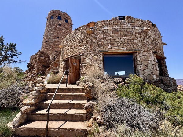
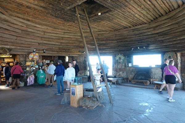
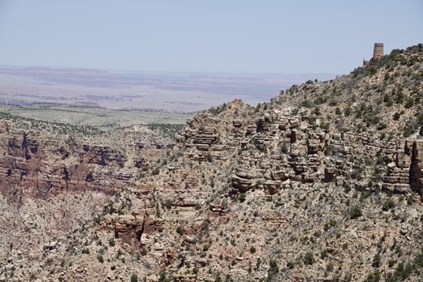
So, we proceeded eastward on Desert View Drive and parked at Desert View near the east entrance of the Park. The iconic watchtower there was built in 1932 and designed by architect Mary Colter. The tower towers over the canyon and its View Room at the top provides sweeping canyon views. The View Room was closed but we were able to enter the first floor that housed the gift shop and provided informational signage.
——————— Desert View Watchtower ———————
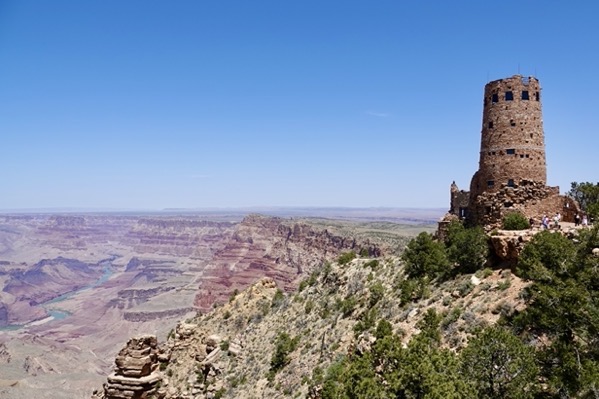
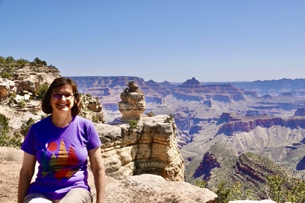
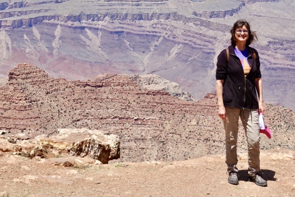
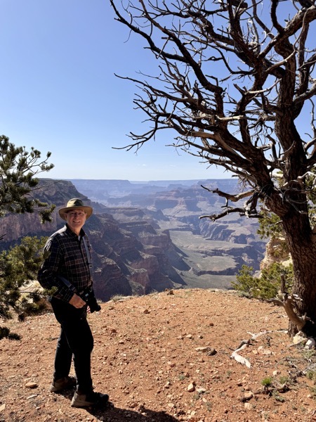
But, the real attraction at Desert View is the view. In my opinion, this location provides the most scenic panaroma from the South Rim because of the prominence of the curving colorful Colorado River. We spent awhile walking along the edge and enjoying the vistas. At one point I sat on a bench with a wonderful vista to tie my bootlaces. I remarked to a couple behind me that this was the most scenic place I had ever tied my shoes. They replied that it was probably the most scenic place ANYONE had tied their shoes. Turns out they were from Melbourne, Australia, and we had an enjoyable conversation exchanging travel tales while enjoying the view.
After checking the views from every perspective, we walked to the gift shop on the way back to the parking lot. I purchased a t-shirt and cap and Jane bought two more coasters.
——————— Desert View Views ———————
Next, we drove back west toward the main entrance stopping at a few overlooks that we had missed on the eastbound leg. The traffic and number of vehicles at the overlooks had dramaticly increased since our morning westbound trip.
——————— Along Desert View Drive (return trip) ———————
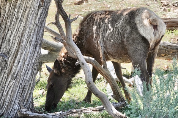
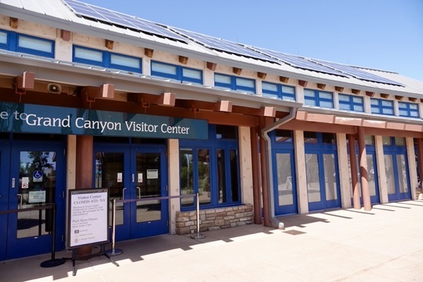
We parked at the Visitor Center parking lot and watched a young elk grazing nearby. Actually, duing the day, was saw a lot of elk grazing in the Park unaffected by the presence of hordes of tourists. We walked to the Visitor Center which was closed to accommodate staff training for the upcoming busy season. It won’t reopend until the day after we depart. The staff training program probably accounts for the closure of some of the attractions that we had wanted to visit.
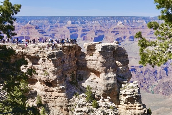
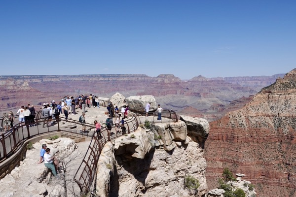
We then walked a short distance to Rim Trail and on to Mather Point, a scenic overlook that we had bypassed at the end of our Rim Trail hike yesterday. It was a beautiful vista and there was quite a crowd there photographing the wondrous sights before them.
——————— Mather Point ———————
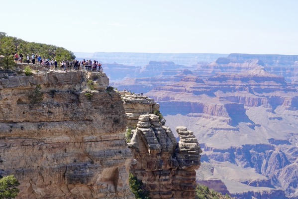
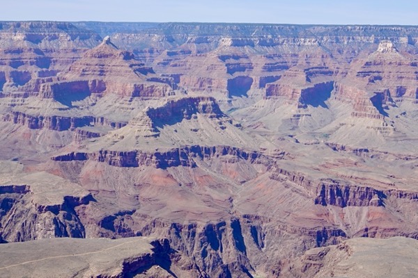
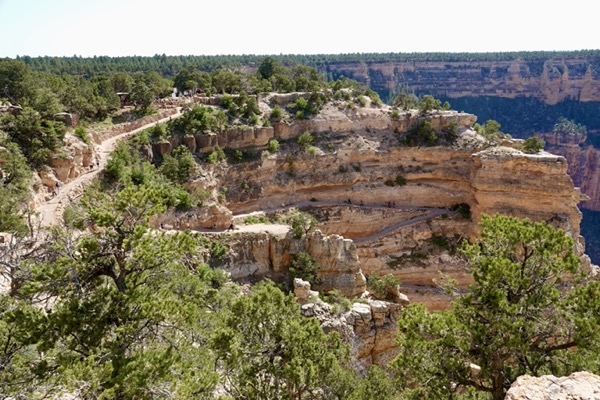
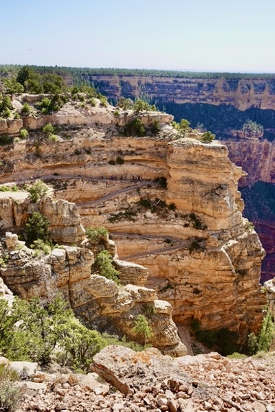
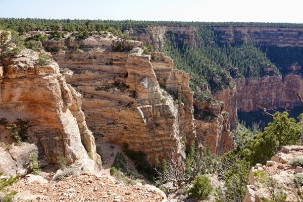
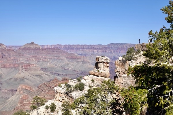
After viewing at Mather Point, we hopped on a free (orange) shuttle bus to the South Kaibab Trailhead. Our plan was to hike a short trail to Yaki Point where we could catch a return bus ride. We must have walked half a mile looking for the beginning of this 0.25-mile long trail. We asked several hikers (who were walking the South Kaibab Trail) but they hadn’t a clue and suggested walking the paved road. So, we began walking the paved road. Shortly, we saw our trail alongside the road and switched paths. On this unpaved trail, we could walk right on the canyon edge. Many of the views from this arm of the canyon were notably different from those in the main canyon because they displayed green patches where plants had taken root.
We safely made it to Yaki Point and enjoyed photographing views there before catching the shuttle bus back to the Visitor Center parking lot.
——————— Yaki Trail & Point ———————

The drive back to the campground seemed long but, we avoided being hijacked and robbed, as we had been yesterday. We briefly stopped along the way to purchase coffee for tomorrow. We also had a phone converstion with my sister, Lisa, who is taking care of our cat, Zorro. He has been avoiding eating and appears to have developed gum ulcers and perhaps other dental issues. She and brother Robert had taken Zorro to a vet and now with antibiotics and pain killers Zorro is doing better.
Back in the motorhome we enjoyed dinner, sorted through hundreds of today’s photos, blogged, and went to bed exhausted from a full day visiting the Grand Canyon.