Sunday, May 22, 2022
We left the Alamogordo KOA Campground about 10:30 after a half-hour delay. Jane had discovered that the outer dual rear tire on the passenger side was flat. I set up our small air-compressor and inflated it to proper pressure (62 psi) and was unable to detect a leak. We surmised (hoped) that it had deflated because the large pressure sensor we have screwed on the valve stem had loosened and let air escape as we bounced along uneven roads. We monitored the tire over the day and after about three hours of driving it was down 5 psi so, while we were refueling, I topped it off.
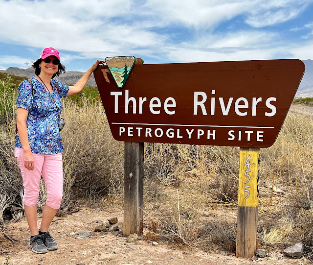
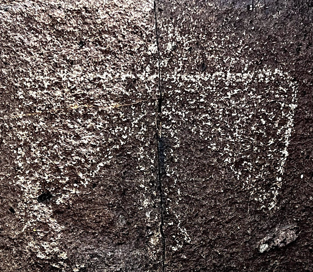
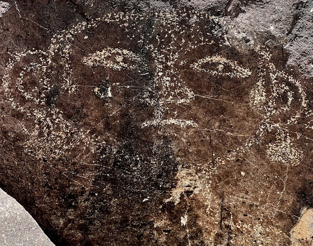
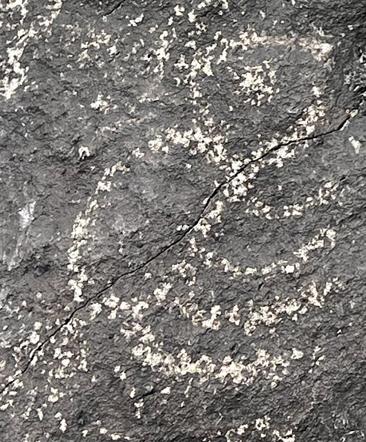
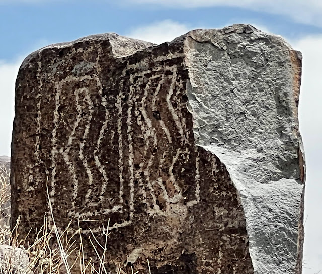
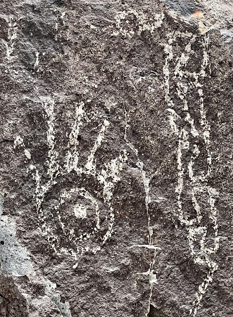
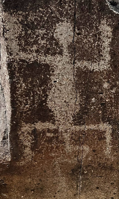
We took a detour from our route to visit the Three Rivers Petroglyph Site. We registered at the office (free with Senior NP Pass). Our neighbors at the previous campground, Stephanie and her mother-in-law, had just arrived, too.This BLM site contains over 21,000 petroglyphs scattered over 50 acres. The drawings are believed to date between 400 and 1450 AD and were created by Jornado Mogollon people by using stone tools to remove the natural dark patina from the rock. The petroglyphs depict, humans, animals, fish, insects, and plants of the region as well as abstract designs.
We were free to wander along a mile-long (roundtrip) rugged trail through, around and over borders up to a summit. Petroglyhs were abundant along the way and it was fun seeking and finding them and then trying to imagine their meaning. I took over a hundred photos along the trail. Below are my photos of some of the petroglyphs that we encountered.
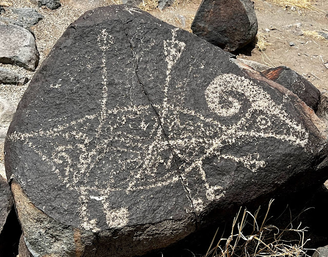
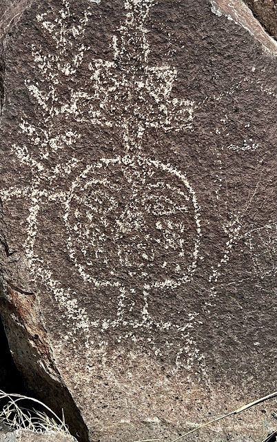

At Three Rivers, there were also ruins (and reconstructions) of a prehistoric village established over 1,000 years ago by the Jornado Mogollon people. Along the path I found some pottery shards that looked to be of Mescalero Apache origin, a people who had more recently settled this area.
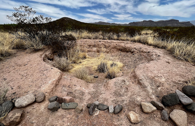 |
| Reconstructed Pit-house of a Pre-historic Jornado Mogollon Home |
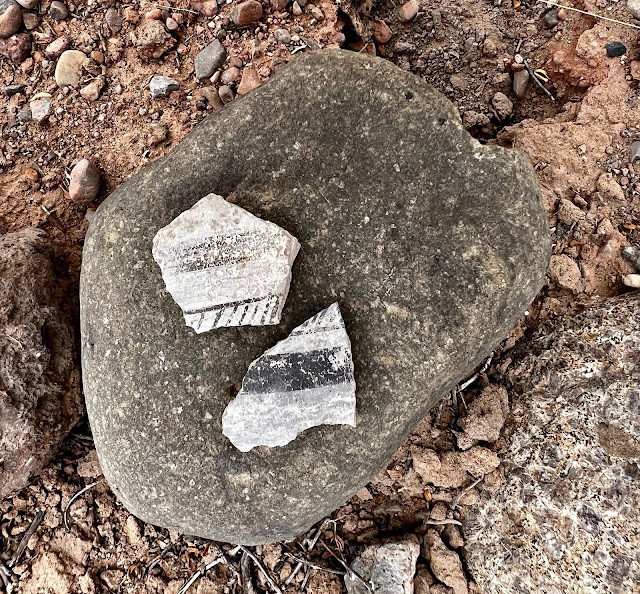 |
| Pottery Shards likely of Mescalero Apache Origin |
After our inspiring stop at Three Rivers, we returned to our route only to take another detour to visit Valley of Fires Recreation Area. We immediately begin hiking the Malpais Nature Trail, a 3/4 mile walk through lava flows composed of olivine basalt. We experienced white sands yesterday and black rocks today, stark contrasts in color and texture. Here, nature had artistically created beautiful swirls, bubbles, holes and flow patterns in the solidified lava. The lava had originated, not from a volcano, but from a vent at Little Black Peak that erupted over a 30-year period about 5,000 years ago, making it one of the youngest lava flows on the continental U.S. The flow covers a 44 mile length of the Tularosa Basin and is four to six miles wide, 160 feet deep and covers 125 square miles.
We saw our former campground neighbors arriving as we were leaving Valley of Fires.
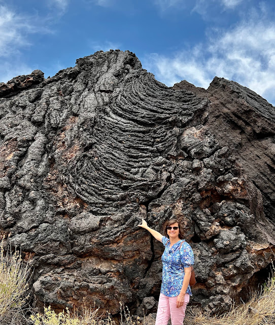 |
| Swirls of Solidified Lava |
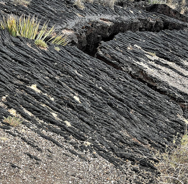 |
| Lava Flow Pattern revealed in Solidified Olivine Basalt |
After our last detour we proceeded northward for about two hours and arrived at the Albuquerque North/Bernalillo KOA Journey. After setting up the RV, we didn’t need to travel far for beer. There was as foot passage through the campground boundary fence directly to the Kaktus Brewing Company where we had beer and pizza before retiring to our motorhome.
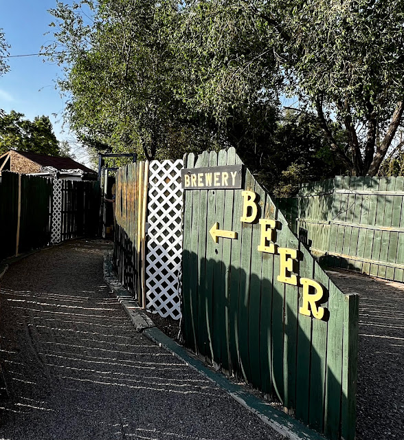 |
| Campground Passageway to the Kaktus Brewing Company |




What a great day of sightseeing that was. Great pictures!
Reading at your posts and looking at the pictures makes me think seriously about retirement, … it is still a few decades.away, 😢
Enjoy!!
Thank-you, Nancy. JJ, get that retirement countdown app! – John